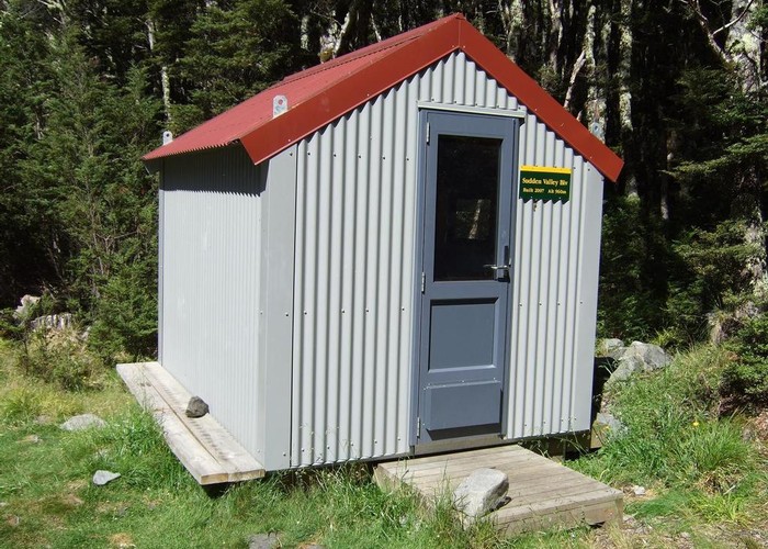
Sudden Valley
Arthur's Pass National Park
- 8 hr return via same track
- Medium
A secluded hanging valley in the southeast corner of Arthur's Pass National Park
|
Walking time
|
2 days
8 hr
|
|---|---|
|
Distance
|
12.0km |
|
Type
|
Return via same track
|
|
Grade
|
Medium |
|
Bookings
|
No bookings — open access
No — open access
|
|
Starts
|
Hawdon Shelter, take the Mount White Bridge turnoff at Goldney Saddle, SH73 |
|---|---|
|
Maps
|
NZTopo50-BV21
|
|
Altitude
|
570m
–
960m
Altitude change 390m
|
From Hawdon Shelter, cross the Hawdon River to the true right and follow the shingle streambed of Sudden Valley Stream. After 2km of gravel walking, the valley becomes a gorge requiring several crossings. A few short tracks lead around trickier sections of streambed.
After about an hour of gorge travel, a track leads steeply up the true left bank. This track climbs above the Barrier Falls a little farther upstream. These are impassible: if you miss the turn off, you will need to retrace your steps. The track, known as the "Devil's Chute" climbs directly up the wall of the gorge with the assistance of a rope and proceeds on a high sidle, dropping back to the stream just beyond the falls.
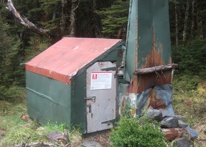
Beyond here, travel becomes easier, mostly on the true right, as the valley widens out. Sudden Valley Biv is another 2km upstream on the true right. It is very small and low, and not especially appealing. There is space for camping nearby.