Puketutu Track
- 1 – 2 days return via same track
- Medium
This track connects the Old and New North - South Tracks in the Kaimai - Mamaku Forest Park. The track is not a DOC track and partly runs onto private land, though there appears to be no restriction to access. The track is marked with plastic ties and white permolat markers. The track is access mainly from Uplands Road on the eastern side or Waireru Falls on the western side.
|
Walking time
|
1 – 2 days
6 hr – 10 hr
|
|---|---|
|
Type
|
Return via same track
|
|
Grade
|
Medium
Not a DOC maintained track. Grades explained
|
|
Bookings
|
No bookings — open access
No — open access
|
|
Starts
|
At a marked point on the New North - South Track. |
|---|---|
|
Ends
|
At a junction with the Old North - South Track. |
|
Maps
|
NZTopo50-BD36
|
The time indicated includes the time taken to reach the beginning of the track from either Uplands Road or Wairere Falls and to reach the Puketutu Hut.
The start of the track is marked by a large tree with a single orange plastic tie and a mock grave that is in a small clearing between the track and a stream. This junction is about an hour north of the Wairere and New North - South track junction.
From the foot of the grave head north down a short track to the stream, across the stream can be seen plastic ties that mark the start of the track.
The track starts with a good climb for about 40 minutes before reaching the junction with the Old North - South Track. This junction is marked with a yellow marker and a big "J" in yellow, though it may be missed on the trip up. You know your on the old track when the orange permolat markers start and the track is partly cut into the ground. After about 10 minutes a small clearing is reached that allows views both west and east of the range.
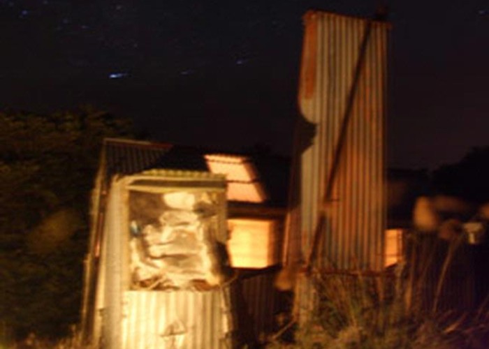
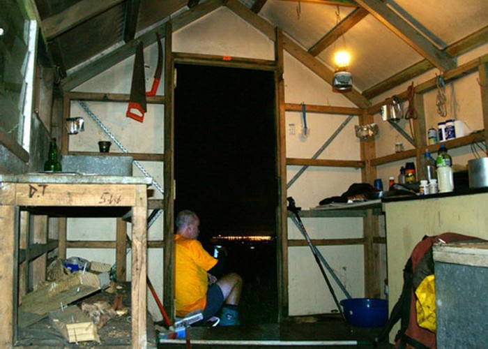
About 10 minutes further on is the Heli Landing. The track to the hut exits this clearing at the eastern end, not well marked. After a few minutes the hut is reached.
I have graded this track medium because it is not really suitable for inexperienced trampers as it could put them off tramping.