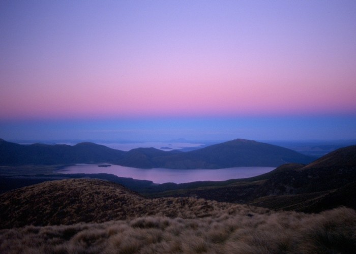
Tongariro Crossing
Tongariro National Park, Tongariro National Park World Heritage Area
- 7 hr – 8 hr one way
- Medium
A popular but crowded alpine route through a spectacular volcanic landscape.
11 members favourited
57 members checked in
|
Walking time
|
1 – 2 days
7 hr – 8 hr
|
|---|---|
|
Distance
|
13.0km |
|
Type
|
One way
|
|
Grade
|
Medium |
|
Bookings
|
No bookings — open access
No — open access
|
|
Starts
|
Mangatepopo Road, off SH47 |
|---|---|
|
Ends
|
Ketetahi Road, off SH47a |
|
Maps
|
-
|
|
Altitude
|
770m
–
1,850m
Altitude change 1,080m
|
ID 305
About this track
117 views in the past year (10 per month).