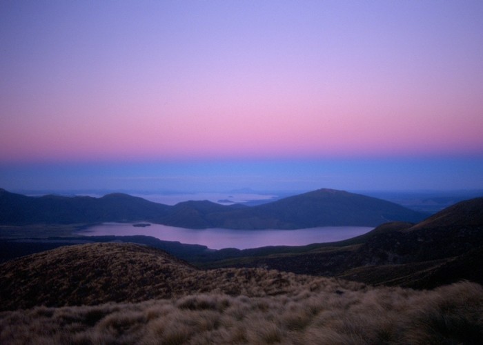
Tongariro Alpine Crossing
Tongariro National Park, Tongariro National Park World Heritage Area
- 6 hr – 8 hr one way
- Medium
A popular but crowded alpine route through a spectacular volcanic landscape.
11 members favourited
57 members checked in
|
Walking time
|
1 – 2 days
6 hr – 8 hr
|
|---|---|
|
Distance
|
19.4km |
|
Type
|
One way
|
|
Grade
|
Medium |
|
Bookings
|
No bookings — open access
No — open access
|
|
Starts
|
Mangatepopo Road, off SH47 |
|---|---|
|
Ends
|
Ketetahi Road, off SH47a |
|
Maps
|
NZTopo50-BH34
NZTopo50-BH35 |
|
Altitude
|
770m
–
1,850m
Altitude change 1,080m
|
Two significant changes have been added to the route by DOC, one at each side of the crossing. Changes have been well marked and benched so you are unlikely to miss the deviations.
ID 305
About this track
Added 1 June 2001 by matthewmatthew.
6 revisions, most recently 14 April 2012 by
Inspector ClouseauInspector Clouseau.
117 views in the past year (10 per month).