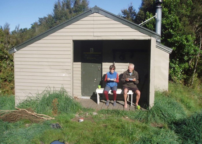
Pelorus Track (via Rocks hut & Totara saddle)
Mount Richmond Forest Park
- 2 – 3 days one way
- Easy/medium
The Pelorus track is a semi-remote forest experience in Mount Richmond Forest park.It leads up the Pelorus valley and over the Bryant Range to the Hackett car park in the Aniseed valley or 'The Brook' in Nelson city.

|
Walking time
|
2 – 3 days
13 hr – 17 hr
|
|---|---|
|
Distance
|
36.0km |
|
Type
|
One way
|
|
Grade
|
Easy/medium |
|
Bookings
|
No bookings — open access
No — open access
|
|
Starts
|
13km up the Pelorus valley at the end of Maungatapu Road. |
|---|---|
|
Ends
|
Hackett picnic area, Aniseed Valley. |
|
Maps
|
-
|
|
Altitude
|
150m
–
939m
Altitude change 789m
|
ID 3012
About this track
45 views in the past year (4 per month).