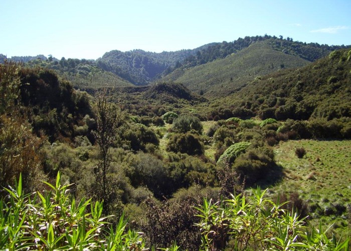
Upper Matakuhia Hut
Whirinaki Te Pua-a-Tāne Conservation Park, Waipunga Forest
- 4 hr – 8 hr return via same track
- Easy
An ideal easy overnight trip or can be done as a day trip
|
Walking time
|
1 – 2 days
4 hr – 8 hr
|
|---|---|
|
Distance
|
14.5km |
|
Type
|
Return via same track
|
|
Grade
|
Easy |
|
Bookings
|
No bookings — open access
No — open access
|
|
Starts
|
Matakuhia Saddle, off Pine Milling Rd |
|---|---|
|
Ends
|
Matakuhia Saddle, off Pine Milling Rd |
|
Maps
|
NZTopo50-BH38
|
|
Altitude
|
700m
–
950m
Altitude change 250m
|
ID 2969
About this track
88 views in the past year (7 per month).