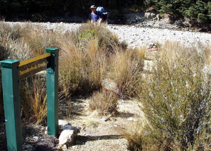
Urchin - Waipakahi Hut - Umukarikari Trip
- 2 – 3 days loop track with a road section
- Easy/medium
A classic 2 - 3 day trip in the Kaimanawas. Includes open tops, river travel and a comfy hut for the night
8 members favourited
9 members checked in
|
Walking time
|
2 – 3 days
15 hr – 25 hr
|
|---|---|
|
Distance
|
30.0km |
|
Type
|
Loop track with a road section
|
|
Grade
|
Easy/medium
Exposed tops in severe weather Grades explained
|
|
Bookings
|
No bookings — open access
No — open access
|
|
Starts
|
Kaimanawa Rd, Urchin Track Start |
|---|---|
|
Ends
|
Kaimanawa Rd, Umukarikari Track Start |
|
Maps
|
NZTopo50-BH36
NZTopo50-BH35 |
|
Altitude
|
700m
–
1,590m
Altitude change 890m
|
ID 2958
About this track
199 views in the past year (17 per month).