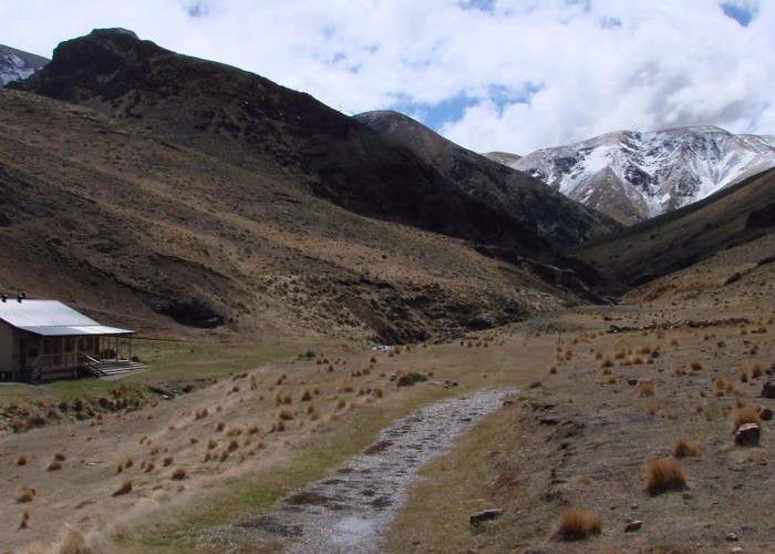
Mount Somers Track
Hakatere Conservation Park
- 6 hr 30 min one way
- Easy/medium
Leading around the back of Mount Somers, an ancient volcano, this track explores a fascinating landscape with handsome grasslands and sweeping views.
8 members favourited
9 members checked in
|
Walking time
|
2 days
6 hr 30 min
|
|---|---|
|
Type
|
One way
|
|
Grade
|
Easy/medium |
|
Bookings
|
No bookings — open access
No — open access
|
|
Starts
|
Coalminers Flat, Jig Road, off Ashburton Gorge Road, near Mount Somers |
|---|---|
|
Ends
|
Sharplin Falls car park, Flynns Road, Staveley |
|
Maps
|
NZTopo50-BX20
|
|
Altitude
|
460m
–
1,170m
Altitude change 710m
|
ID 293
About this track
82 views in the past year (7 per month).