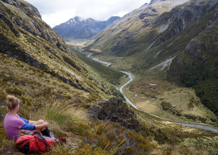
Edwards River-Hawdon River
Arthur's Pass National Park
- 3 days one way
- Medium
See Hawdon River.
3 members favourited
8 members checked in
|
Walking time
|
3 days |
|---|---|
|
Distance
|
32.0km |
|
Type
|
One way
|
|
Grade
|
Medium |
|
Bookings
|
No bookings — open access
No — open access
|
|
Starts
|
SH73, 5km south of Arthurs Pass |
|---|---|
|
Ends
|
Hawdon Shelter |
|
Maps
|
NZTopo50-BV20
NZTopo50-BV21 |
|
Altitude
|
570m
–
1,368m
Altitude change 798m
|
ID 290
About this track
69 views in the past year (6 per month).