Casey Saddle - Poulter River - Binser Saddle
Arthur's Pass National Park
- 2 – 3 days loop track with a short road section
- Easy/medium
A brief circuit crossing one open saddle and one bush saddle in the southeastern corner of Arthur's Pass National Park
|
Walking time
|
2 – 3 days
12 hr
|
|---|---|
|
Distance
|
36.0km |
|
Type
|
Loop track with a short road section
|
|
Grade
|
Easy/medium |
|
Bookings
|
No bookings — open access
No — open access
|
|
Starts
|
Andrews Shelter, Mount White Road, Arthur's Pass National Park. Follow sign to Mount White Bridge from Goldney Saddle on SH73. |
|---|---|
|
Maps
|
NZTopo50-BV21
|
|
Altitude
|
500m
–
1,085m
Altitude change 585m
|
This circuit is not especially popular. Travel along the Poulter River flats and over the forested Binser Saddle is largely a matter of covering ground. The much lower Casey Saddle is open and windswept, and more interesting.
The second leg of this loop from Casey Hut back to the car park is long. You could consider splitting it by camping on the flats at Pete Stream. Also save yourself a 30 minute road bash back to your car by leaving a bicycle at the Binser Saddle track end.
The Andrews Stream track end is easy to find. The shelter and car park are right next to Mount White Road just beyond the Andrews Stream bridge. There is ample camping here or amongst matagouri on the river bank just before the bridge. The Binser Saddle track end is a little farther along the road. Immediately after a ford, turn off the road onto a vague grass track. The track starts at the bush edge.
Andrews Shelter - Casey Saddle - Casey Hut: 5.5 hours
From Andrews Shelter, the track climbs quickly onto a terrace and enters forest. After 1 hour, a patch of red beech forest marks the beginning of a gentle descent, meeting Andrews Stream after another hour and sidling above it.
The track soon breaks onto grassy flats, which broaden onto the Hebe-dotted Hallelujah Flat. The track is vaguely marked here with cairns on the true left bank.
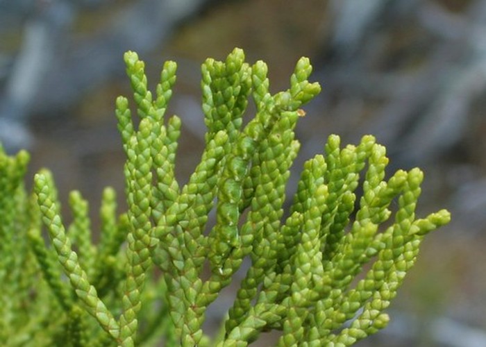
The saddle itself is around 3.5 hours from the car park, and marked with Hebe and bog pine as well as a diversity of tiny alpine plants. A boardwalk leads off the saddle and drops into forest briefly before breaking onto the narrow Casey Stream flats. The route crosses the stream here several times before a sign marks the track resuming in forest on the true right. Watch for this turn off 5 minutes after the patch of forest.
Beyond here, the track climbs to another terrace, entering a small patch of Dracophyllum scrub and then dropping through light beech forest to the hut, located on a white grassy flat.
Casey Hut - Binser Saddle - Andrews Shelter: 7 hours
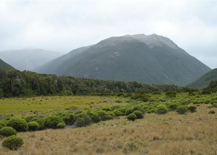
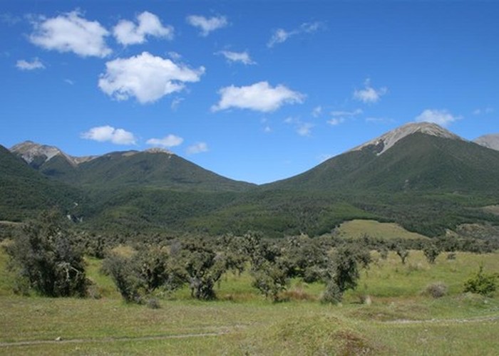
A new section of track behind the hut climbs onto a low red beech terrace, soon dropping onto a wide grassy flat west of the Poulter River and joining up with a vehicle track. This track leads away from the river and down a gently sloping valley ending with a tarn. Parakeets are all around in the forest along here. The track skirts the tarn and drops onto Rabbit Flat. Across the river, are striking river terraces caused by geological uplift. The hillside is covered in low growth and dotted with tree trunks, the result of a 1981 storm. In the distance across the river, Peverel Peak marks the end of the river sidle.
Eventually, the vehicle track passes the Poulter River East Branch on the opposite bank. Terns and gulls circle above the river, and a few cows lurk behind a fence marking the edge of the national park. Following the fence, the track soon meets a stile and crosses the shingle of Mt Brown Stream. The flats resume, with cows, matagouri, and rabbits. Avoiding a bend in the river, the track meanders onto the hillside and approaches the terraces around Pete Stream. A box outline of poplars marks the site of Minchin Homestead, established in 1857 and abandoned in 1870. Soon the vehicle track bends into Pete Stream and passes a pleasant camping spot on the banks of the stream. Time from the hut: 3.5 hours.
Across Pete Stream, the track scrambles up three terraces and enters kanuka then beech forest with an easy grade. The track skips across a few small creeks and becomes a little steeper. The forested saddle is enccountered unexpectedly and without any ceremony after 2 hours. There is a small grassy flat here but no view.
The westward descent is quite steep and affords a few views across the grand golden flats of the Waimakariri River. The track ends at the forest edge by Lower Farm Stream. Leave your pack amongst the matagouri and follow the road back to the car park. Time from the Poulter River: 3.5 hours.