Rock and Pillar range
Rock and Pillar Conservation Area
- 6 hr – 8 hr loop track with a road section
- Easy/medium
This trip can be done in a day but you may wish to spend a night in one of the two huts at the top. The easiest way is probably to do this in an anticlockwise direction because the road going up is an easier grade.
|
Walking time
|
1 – 2 days
6 hr – 8 hr
|
|---|---|
|
Distance
|
20.0km |
|
Type
|
Loop track with a road section
|
|
Grade
|
Easy/medium
Be prepared for severe weather at any time of year, especially winter Grades explained
|
|
Bookings
|
No bookings — open access
No — open access
|
|
Starts
|
Kinvara Station, just south of Lug Creek |
|---|---|
|
Ends
|
Cnr McKinnon Rd and SHwy 87 |
|
Maps
|
NZTopo50-CD15
NZTopo50-CD16 |
|
Altitude
|
300m
–
1,453m
Altitude change 1,153m
|
Starting from the DOC carpark at Kinvara Station. The carpark is not marked from the main highway. Just go up what looks like a private driveway just south of Lug Creek.
The road up the hill is DOC land but is not fenced so you must close all gates.
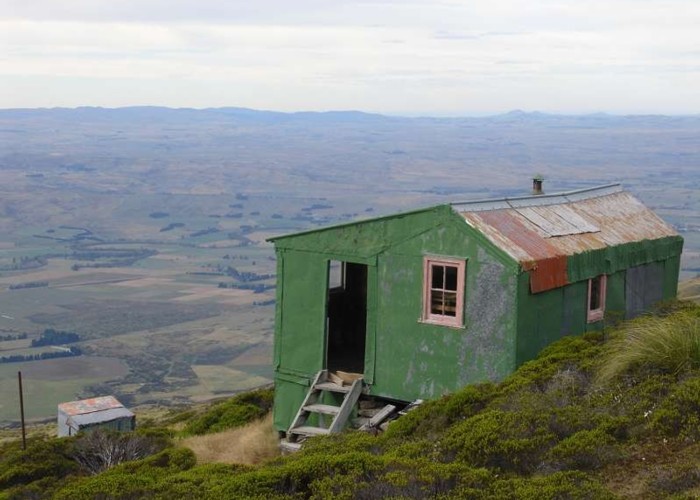
The gradient is good on the road and you steadily climb, getting to the Leaning Lodge's altitude in about 2-3 hours. The road forks. take the Left hand road and you will soon see the hut up ahead. The right hand fork continues to the top of the range.
From Leaning Lodge there is no track. We climbed to the top of the range behind the hut and followed our noses over easy alpine meadows to the summit rocks. If foggy the navigation will be much more difficult.
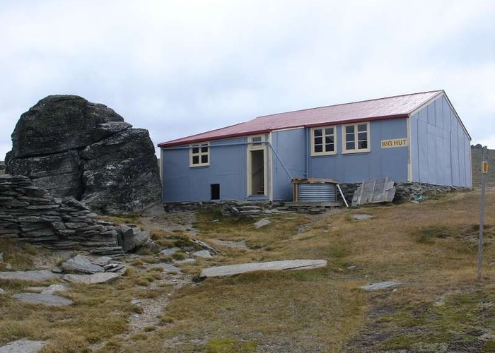
Big hut is on a flank of the range and can be seen from above.
From Big Hut a good poled track leads steeply down the hill in DOC reserve until the bottom of the range is reached. You the cross a stile and follow down farm tracks to another DOC carpark.
It is about a 3km walk along the road back to the starting point.