Rock and Pillar range
Rock and Pillar Conservation Area
- 6 hr – 8 hr loop track with a road section
- Easy/medium
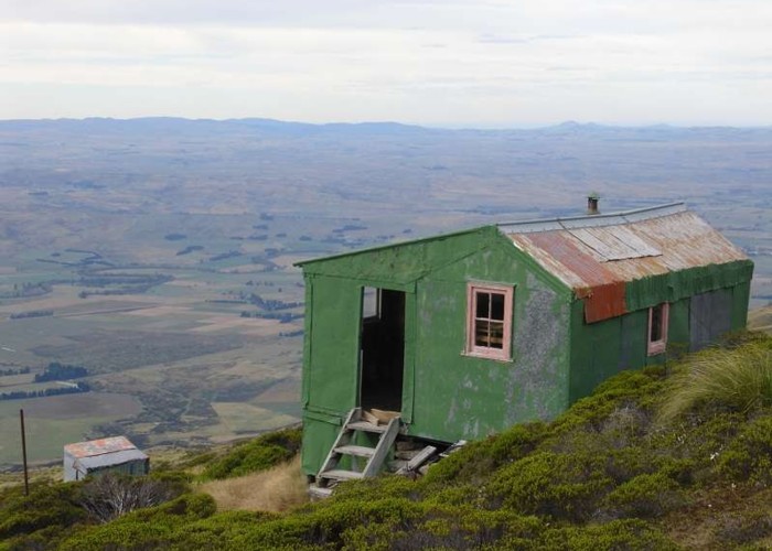
This trip can be done in a day but you may wish to spend a night in one of the two huts at the top. The easiest way is probably to do this in an anticlockwise direction because the road going up is an easier grade.
2 members favourited
5 members checked in
|
Walking time
|
1 – 2 days
6 hr – 8 hr
|
|---|---|
|
Distance
|
20.0km |
|
Type
|
Loop track with a road section
|
|
Grade
|
Easy/medium |
|
Bookings
|
No bookings — open access
No — open access
|
|
Starts
|
Kinvara Station, just south of Lug Creek |
|---|---|
|
Ends
|
Cnr McKinnon Rd and SHwy 87 |
|
Maps
|
NZTopo50-CD15
NZTopo50-CD16 |
|
Altitude
|
300m
–
1,453m
Altitude change 1,153m
|
ID 2816
About this track
167 views in the past year (14 per month).