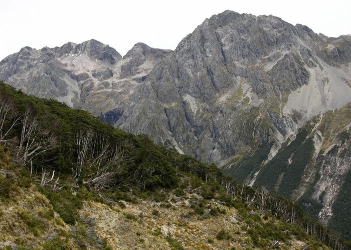
Travers-Sabine
Nelson Lakes National Park, Travers Falls
- 4 – 7 days loop track with a road section
- Medium
Two river valleys linked by a straightforward alpine saddle at 1800m
10 members favourited
17 members checked in
|
Walking time
|
4 – 7 days |
|---|---|
|
Distance
|
80.0km |
|
Type
|
Loop track with a road section
|
|
Grade
|
Medium |
|
Bookings
|
No bookings — open access
No — open access
|
|
Starts
|
St Arnaud |
|---|---|
|
Ends
|
St Arnaud |
|
Maps
|
NZTopo50-BR24
NZTopo50-BS24 |
|
Altitude
|
450m
–
1,768m
Altitude change 1,318m
|
ID 275
About this track
137 views in the past year (11 per month).