Nydia Walkway
- 2 days one way
- Easy
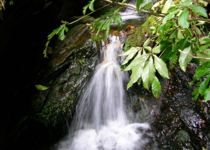
A shorter neighbour of the Queen Charlotte Track, The Nydia Track explores low saddles and shorelines in the Marlborough Sounds.
2 members favourited
2 members checked in
|
Walking time
|
2 days
9 hr 30 min
|
|---|---|
|
Distance
|
22.0km |
|
Type
|
One way
|
|
Grade
|
Easy |
|
Bookings
|
No bookings — open access
No — open access
|
|
Starts
|
Duncan Bay road end, Tennyson Inlet |
|---|---|
|
Ends
|
Kaiuma car park, Daltons Road, north of Havelock, or Shag Point, accessed by boat from Havelock. |
|
Maps
|
-
|
|
Altitude
|
Sea level
–
387m
Altitude change 387m
|
ID 270
About this track
43 views in the past year (4 per month).