Routeburn Track
Fiordland National Park, Mount Aspiring National Park, Te Wāhipounamu - South West New Zealand World Heritage Area
- 2 – 3 days one way
- Easy/medium
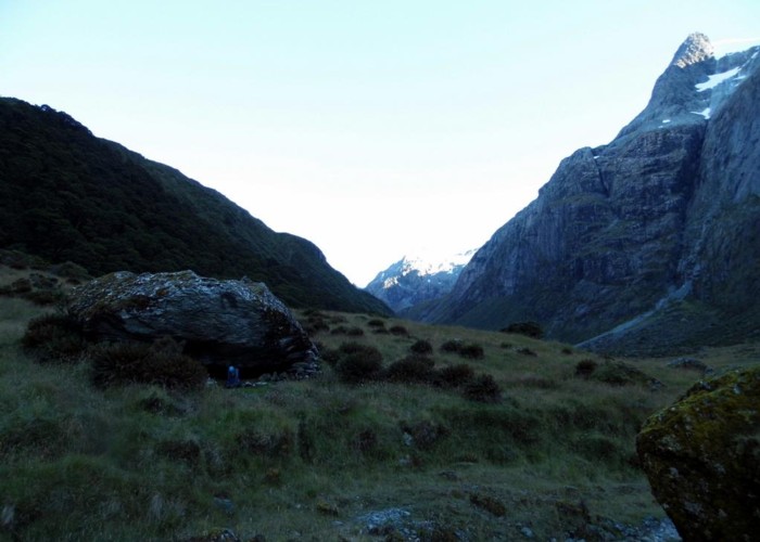
Dramatic views on an exposed alpine walk. One of New Zealand's most popular tracks.
|
Walking time
|
2 – 3 days
11 hr 30 min – 17 hr
|
|---|---|
|
Distance
|
33.0km |
|
Type
|
One way
|
|
Grade
|
Easy/medium |
|
Bookings
|
No bookings — open access
No — open access
|
|
Starts
|
Routeburn Shelter, head of Lake Wakatipu |
|---|---|
|
Ends
|
The Divide, Milford Te Anau Road |
|
Maps
|
NZTopo50-CB09
|
|
Altitude
|
450m
–
2,300m
Altitude change 1,850m
|
The Routeburn is second only to the Milford Track. in fame, although arguably a better track. It was featured by National Geographic Adventure magazine as one of the world's top 11 hikes.
The Routeburn Track is managed as one of the DOC Great Walks. Bookings are required during the summer season for both huts and campsites. Camping is allowed at designated campsites only, unless you camp more than 500m from the track (there are several suitable spots for camping like this).
During winter months the track becomes impassable due to snow and avalanche risk. However, the two ends are accessible and provide excellent overnight options. At this time, regular hut tickets may be used, and bookings are not required.
There are several side tracks that are well worth exploring if the weather is clear: Key Summit near the Divide and Conical Hill near Harris Saddle.