Waitakere Ranges Regional Park
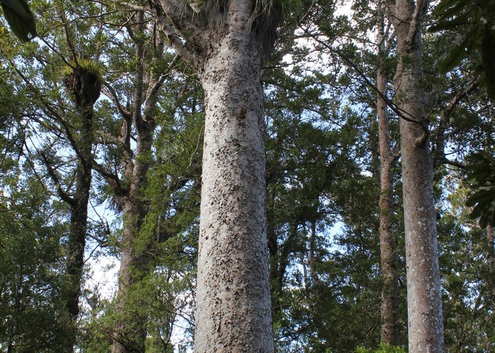
A rugged coastline of tall cliffs and wide ironsand beaches, kauri and nikau forest in the hills west of Auckland. This small but diverse area is managed by the Auckland Regional Council.
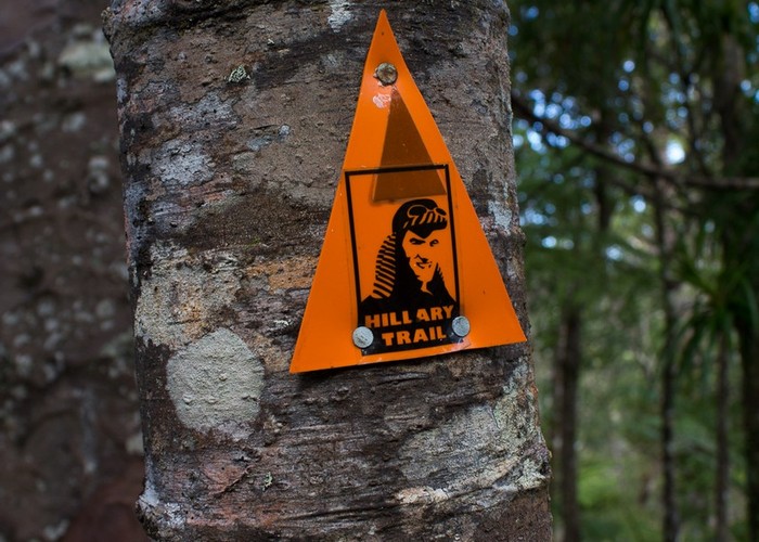
A variety of tramping tracks explore the forest and the coastline. The coastline includes the wide beach of Whatipu in the south, and Piha further north. Several reservoirs within the park form part of Auckland's water supply, and are restricted-access.
The ranges are the remnants of a offshore volcano. 16 million years ago, the massive Waitakere Volcano lay 20km offshore. Today, the steep cliffs at the edge of the park are the remnants of the eastern slopes of this volcano, formed largely of Manukau breccia. The black sand beaches come from elsewhere: titanomagnetite swept up the coast from Taranaki.
Camping at several campsites is by permit from ARC. Further north, the Te Henga and Goldie Bush Walkways offer easier walking through smaller DOC reserves.
|
Area
|
160 square kilometres |
|---|---|
|
Maps
|
NZTopo50-BB31
NZTopo50-BA30 NZTopo50-BB30 NZTopo50-BA31 |