Mangakara Nature Walk
Pirongia Forest Park
- 40 min loop track
- Easy
An easy loop track wandering through rich forest at the foot of Pirongia.
|
Walking time
|
40 min |
|---|---|
|
Type
|
Loop track
|
|
Grade
|
Easy |
|
Bookings
|
No bookings — open access
No — open access
|
|
Starts
|
Information shelter, Grey Road car park |
|---|---|
|
Maps
|
NZTopo50-BE33
|
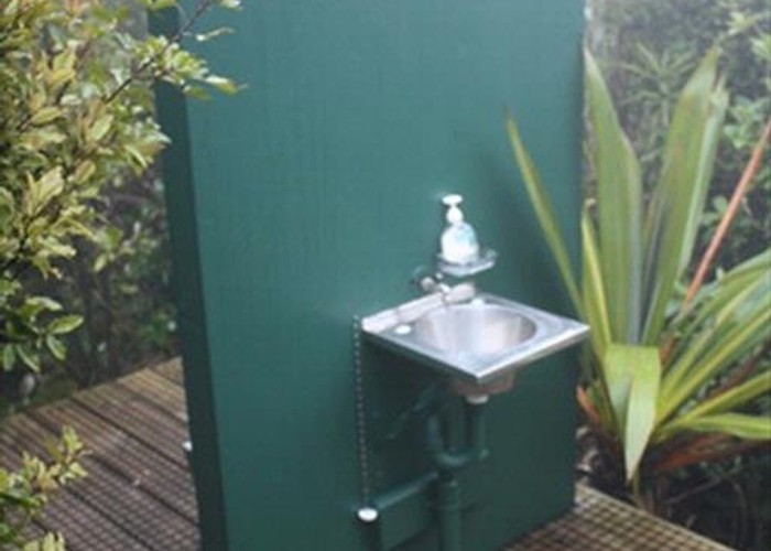
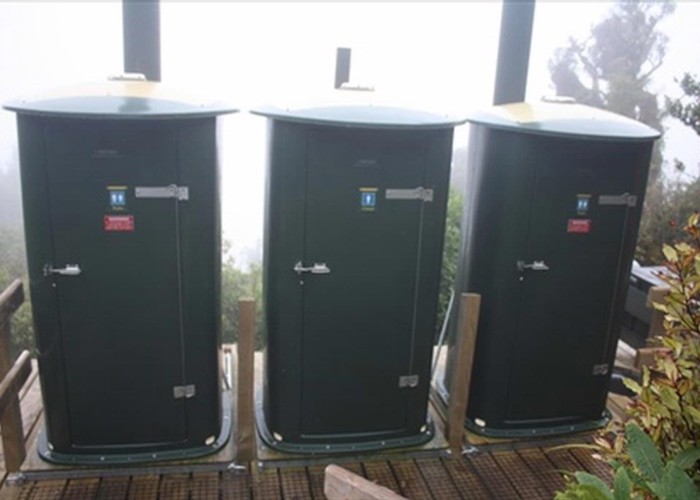
Head north from Pirongia township, and turn toward the mountain on Te Pahu Road, then left onto Hodgson and left again onto Grey. An information shelter, toilet and picnic area is located at the road end.
From the shelter, the wide track leads through forest including such species as tawa, miro, rimu, and kahikatea. A junction is passed where the track loops back on itself just before the pretty Mangakara Stream. Over a bridge, another track leads off left: this is the Ruapane Track, heading up Pirongia. The nature walk continues alongside the stream to the right, before crossing another bridge and returning.
An information sheet is available from DOC which explains the numbered sites along site the track: http://www.doc.govt.nz/upload/documents/parks-and-recreation/tracks-and-walks/waikato/mangakara-factsheet.pdf .