Hakatere Conservation Park
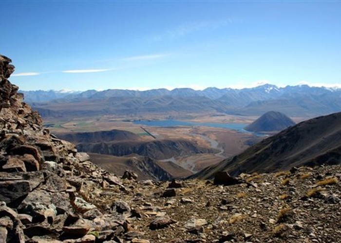
This park protects high country between the Rakaia and Rangitata Rivers in the Ashburton Lakes District, Mid-Canterbury.
1 member favourited
The landscape is dominated by glacial basins, rolling tussocklands, and kettle lakes, and includes the volcanic features of the Mount Somers area. The park incorporates several discrete blocks:
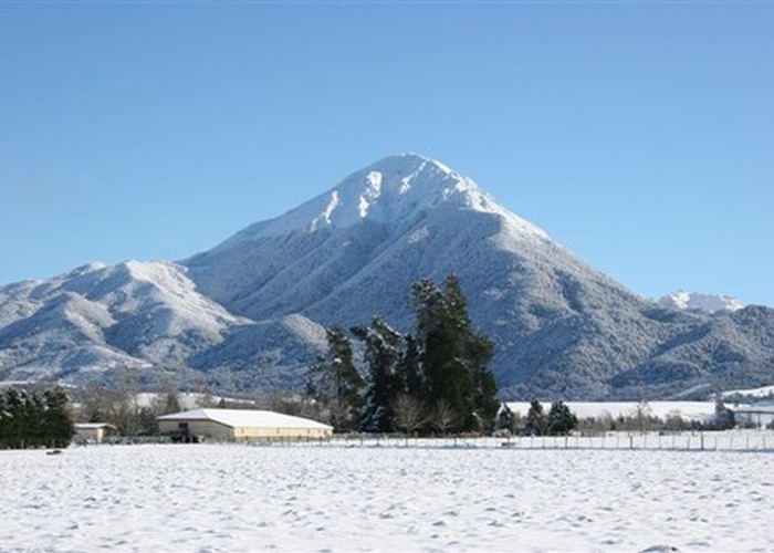
- Mount Hutt;
- Mount Somers and Woolshed Creek;
- Mount Harper;
- A large block east of Lake Heron, including Mount Taylor, the Taylor, Mount Somers, Palmer and Black Hill Ranges;
- the Big Hill Range;
- blocks along the Havelock, Clyde, Lawrence, and Rakaia Rivers.
Hut tickets are available from the general stores in both Mount Somers and Staveley.
|
Area
|
600 square kilometres |
|---|---|
|
Maps
|
NZTopo50-BX18
NZTopo50-BX19 NZTopo50-BX20 |