Te Aroha
Kaimai-Mamaku Forest Park
- 4 hr – 5 hr loop track
- Easy/medium
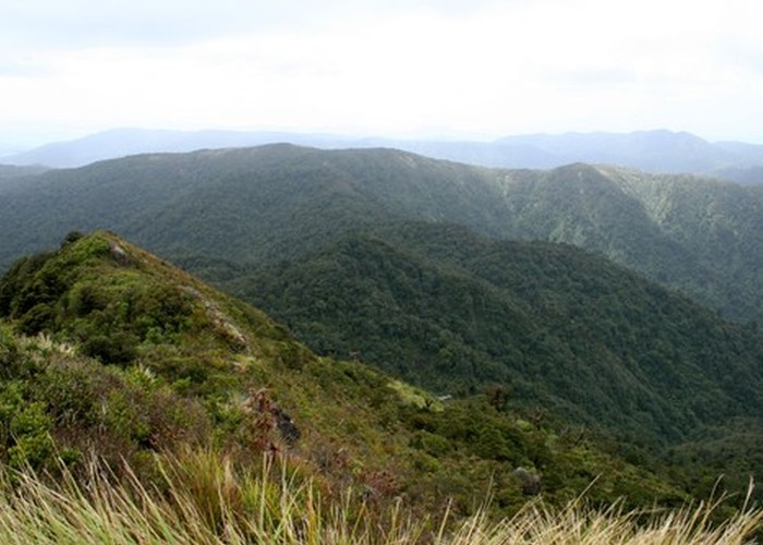
A decent climb through rich forest to the summit of Te Aroha (953m). Extensive views out across the Kaimai-Mamaku Forest Park and out to sea. The return track leads past the ravaged Tui gold mine site.
1 member favourited
12 members checked in
|
Walking time
|
1 day
4 hr – 5 hr
|
|---|---|
|
Distance
|
9.0km |
|
Type
|
Loop track
|
|
Grade
|
Easy/medium |
|
Bookings
|
No bookings — open access
No — open access
|
|
Starts
|
Next to the Te Aroha Mineral Spas ticket office, Boundary Street, Te Aroha |
|---|---|
|
Ends
|
Reservoir above Lawrence Avenue, Te Aroha |
|
Maps
|
NZTopo50-BC35
|
|
Altitude
|
40m
–
953m
Altitude change 913m
|