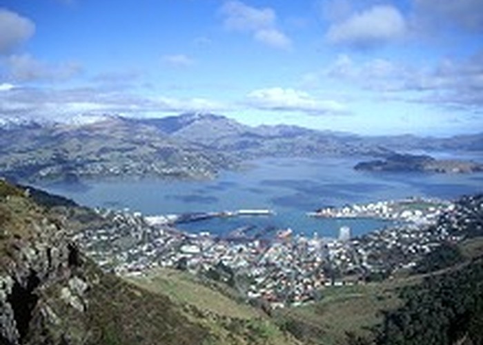
Crater Rim Walkway
- one way
- Easy
A network of tracks over the volcanic hills of Christchurch.
6 members favourited
9 members checked in
|
Walking time
|
9 hr |
|---|---|
|
Distance
|
20.0km |
|
Type
|
One way
|
|
Grade
|
Easy |
|
Bookings
|
No bookings — open access
No — open access
|
|
Starts
|
Ahuriri Reserve, Summit Road, Christchurch |
|---|---|
|
Ends
|
Evans Pass, Summit Road |
|
Maps
|
NZTopo50-BX24
|
|
Altitude
|
200m
–
500m
Altitude change 300m
|
ID 208
About this track
1,028 views in the past year (86 per month).