
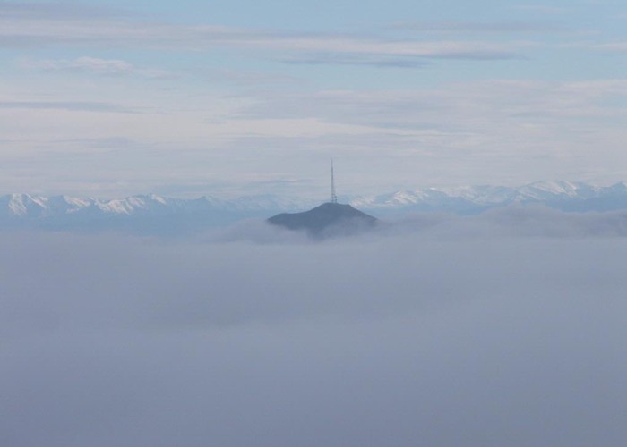
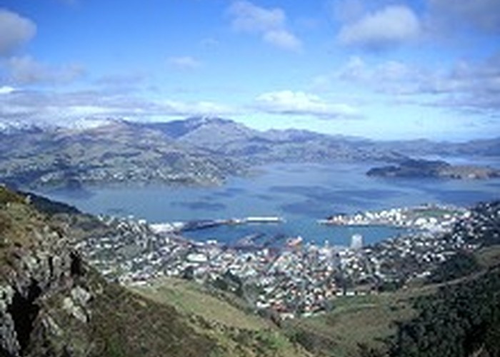
As you drive into Christchurch, the Port Hills at the edge of the city are dwarfed by the taller hills across Lyttelton Harbour. The rounded profile of Mount Herbert stands above all else. At 920m, Mount Herbert is the highest point on the peninsula. It affords 360 degrees of views of hillsides and secluded bays to the east, and the broad Canterbury Plains and more distant Southern Alps to the west.
There are several routes onto Mount Herbert, and these are compared below. Note that all the tracks in the area are closed during lambing from August to October or during times of fire risk.
Diamond Harbour
Climb the full height of Mount Herbert from sea level to 920m. This is a monotonous plod up the dip slope of a long smooth lava flow, now dressed up as farmland.
4 hr 30 min return.
Orton Bradley Park
A more interesting climb from sea level through patches of regenerating forest. Combine this route with the Diamond Harbour route to form a circuit known as the Mount Herbert Walkway.
- 4 hr 30 min return.
Port Levy Saddle
Starting at the pretty 670m saddle between Port Levy and Little River, follow the surveyed course of the unconstructed Summit Road. An easy walk with little climbing.
- 2 hr 45 min return.
Monument Track
From the 420m saddle between Port Levy and Purau, take an old farm road past the striking "Monument" lava dome and on toward the summit.
- 2 hr 45 min return.
Sign of the Packhorse
Climb to this historic hut from the Kaituna Valley or from Gebbies Pass. Then sidle under the bluffs of the south face of Mount Bradley, onward to the shelter and summit. Gorse.
- 4 hr 30 min return from Packhorse Hut.
- 7 hr return from Kaituna Valley.
- 7 hr 30 min return from Gebbies Pass.