Ask permission from Mt Peel Station if you want to do this as a round trip. They will advise of the best place to leave your car along the 4wd track to the hut at Parsons Creek. It is straightforward to follow the 4wd track to the hut and beyond. Check your map to see where you diverge from the track onto Long Spur.
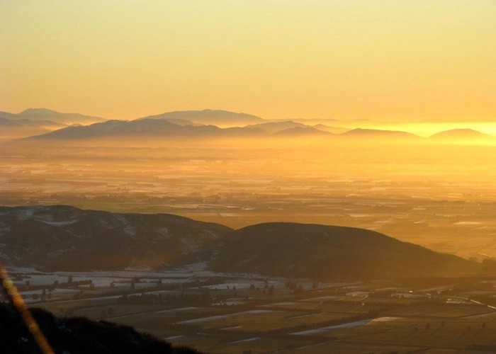
Canterbury plains
• By vickynall.
Follow Long Spur to the top of the ridge then into the obvious saddle before starting the 600m ascent to Mt Peel. The last 250m is scrambling up through a rocky ridge. The summit is a great place to spot Mt Cook and other peaks, as well as the Rangitata River winding it's way to the sea.
Travel from here along the ridge to Little Mt Peel is easy. The steep descent off Middle Mt Peel is marked by a couple of cairns and poles otherwise you could find yourself descending the wrong ridge.
From Little Mt Peel pick up the well-marked Deer Spur track to drop down to Blandswood (about 2 hrs).