Information may be incorrect: you are not viewing the latest version of this page. This version ID 2187 created 22 January 200722 January 2007 by madpommadpom.
The Sleepy Hollow pass route from the mid-Caples to the Dart Valley. This can be combined with either a walk down the Caples valley, or the route over Scott Saddle to make a round walk with a short road section.
Note: This is a mid-summer tramping route. The highest point is 1900m, and will be covered with snow for much of the year.
The route is described from Mid Caples Hut to the Dart valley, but could easily be walked in reverse.
Mid Caples Hut to Sleepy Hollow
8km (3-5 hours)
Sleepy Hollow is most easily reached by following the ridge on the true right (nort-west side). From Mid Caples Hut, head to the second river flats at approx (2135600,5581400). From the head of these flats, heading due north will cut the Sleepy Hollow creek near the base of the hill, and then pick up the ridge on the far side. The ridge is in mature beech and clear of undergrowth all the way to the bushline at about 1400m. From here views of the Mid Caples valley flats and Ailsa Mountains beyond are fair reward for the climb.
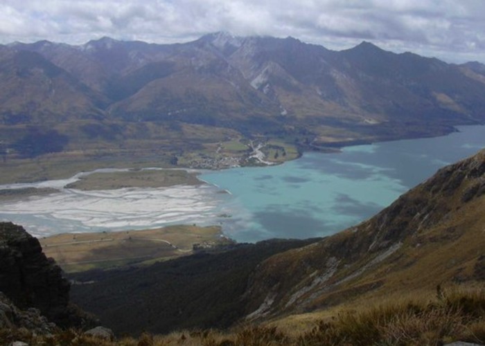
Mid Caples Valley
• By madpom.
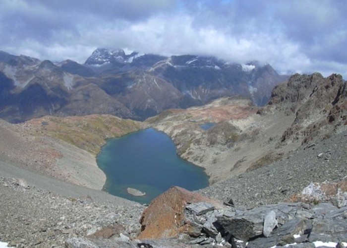
Above the bushline, keep to the ridge to the west of the side creek and then cut due east around its head to pt 1742. Here you enter a region of strongly coloured red rocks, unlike any others I've seen in the region. Crossing this red rocky flat to the east of the ridge (pt1845) deposits you at the outflow of Sleepy Hollow.
Sleepy Hollow to Gorge Creek
1.5km (1-2 hours)
Sleepy Hollow lake is most easily passed on the true-left, but either side is possible. The lakeside is covered with course, boudery scree, and is tiring going, but fairly stable.
The pass from Sleepy Hollow to the Gorge is clearly visible at the head of the lake: it is the 'bite' shaped gap in the cliffs at the top of the scree on the left-hand side, just to the east of pt1973 on the map (2138600,558540). When I walked this pass in mid-January, all but the last 15m to the pass were free of snow and the route could be classed as a 'medium to hard scramble'. In snowy / icy conditions, this section would require alpine skills, and at minimum an ice-axe.
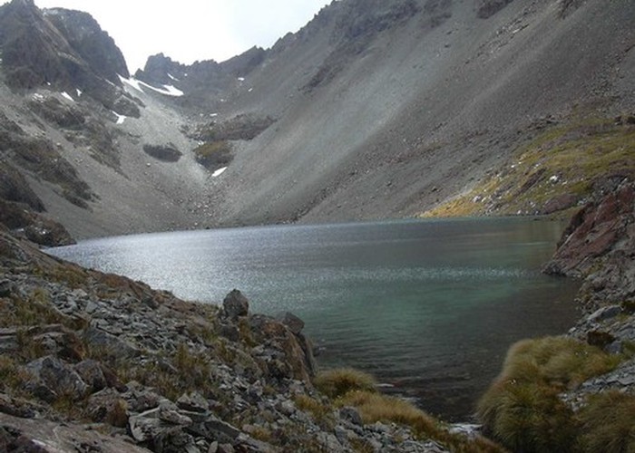
Sleepy Hollow
• By madpom.
The pass provides amazing views of Mt Bonpland, Glenorchy at the head of Lake Wakatipu, Mt Earnslaw and the Dart and Rees valleys.
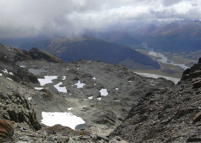
Gorge Creek / Dart Valley
• By madpom.
The descent to the plateau at the head of Gorge Creek receives more sunshine, and is be ice free for longer. The scree is fine and loose, and it is an easy scramble 100m down to the rocky plateau (213870,558570).
Gorge Creek headwaters to the Kinloch Road
6.5km (2.5 - 5 hours)
The Mid Caples hut book records a route down Gorge Creek to the road. This looks relatively easy on the true-left, but crosses private farmland near Kinloch and so is not detailed here.
The route described here is a pleasent, moderately challenging route from the Gorge plateau to Glacier Burn and then out down the track to the Kinloch Road. This has the advantage of remaining on public land.
From the plateau below the Gorge / Sleepy Hollow pass, head north, keeping to the plateau and roughly the same altitude. A short scramble is necessary across the head of the Woodbine Station creek, but it is a relatively easy route to the cliffs above Glacier Burn, 1.5km from the pass. About 200m before the plateau ends in sheer cliffs, a ridge drops east to a col between the main range and pt1731. From this col (2139000,5587000), the gully shown on the map descends due north to the floor of Glacier Burn, losing 700m in about 1km. The going is steep, but reasonably stable.
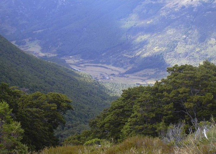
Glenorchy
• By madpom.
Following the Glacier Burn down, the track can be picked up after about 1km, entering the bush on the true left of the creek where it enters the beech forest. It is a further 3.5km along the clear track to the road.