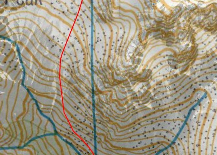
East Hawdon Hut to North side of Mt Valiant

Click Image for full GPS path. Approx 100m N of East Hawdon Hut, take stream draining 1847 & 1732. After 50-75m easy climb N out of stream onto gently sloping plateau above TL of East Hawdon Stream. Sidle crossing marsh at first, then scree and after ~700m gradually head northwards while ascending. Near ridge, follow TL of scree under bluffs to ridge. Approx 2hrs from hut to ridge. From ridge, easy sidle on sometimes loose scree, on the west side of Mt. Valiants NE ridge.
Comments
- No comments yet. Sign in to add yours!
ID 16336
About this photograph
License
67 views in the past year (6 per month).

