Castle Hill Peak
Korowai/Torlesse Tussocklands Park
- 5 hr return by the same track
- Medium
- Porters Pass (941m) to Foggy Peak (1741m): 1.5 - 2 hours
- Foggy Peak to Castle Hill Peak: 1 hour 15 minutes
- Return: 2 hours
A ridge top walk on the Torlesse Range.
|
Walking time
|
1 day
5 hr
|
|---|---|
|
Distance
|
11.0km |
|
Type
|
Return by the same track
|
|
Grade
|
Medium
Unmarked route in an alpine environment. Grades explained
|
|
Bookings
|
No bookings — open access
No — open access
|
|
Starts
|
Summit of Porters Pass, West Coast Road, SH73. |
|---|---|
|
Maps
|
-
|
|
Altitude
|
942m
–
1,971m
Altitude change 1,029m
|
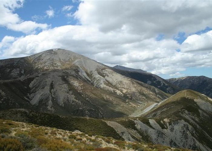
The Torlesse Range forms a rampart against the Canterbury Plains. Beyond Porters Pass lie the golden landscapes of the Castle Hill Basin with the marginally higher Craigieburn Range beyond. Castle Hill Peak (1998m) is the highest point in the Torlesse Range, but still eminently achievable in summer months.
From the car park at Porters Pass, climb over the fence (or walk around the end, as it runs out here). A vague tangle of trails lead up Foggy Peak Ridge through tussock and herbfields. The climb is solid but not unreasonable. After about 45 minutes, the herbfields give way to raw scree. Beyond is a small shelf, sometimes occupied by a tarn. From here, a steep section of scree climbs briskly toward the summit, easing off with views down the eastern faces of the range.
The summit of Foggy Peak (1741m) is marked by a substantial cairn. From here are excellent views across to Ben More, down to Lake Lyndon, and across to the Craigieburn Range.
From Foggy Peak, the journey is a straightforward ridge. The route drops quickly to a red-stained saddle before climbing in a couple of gentle steps and easing past point 1842.
As you pass the deep void of Ghost Creek, look out across the Castle Hill limestone outcrops and you can see Mount Rolleston (2275m) peeking over the top of the Craigieburns.
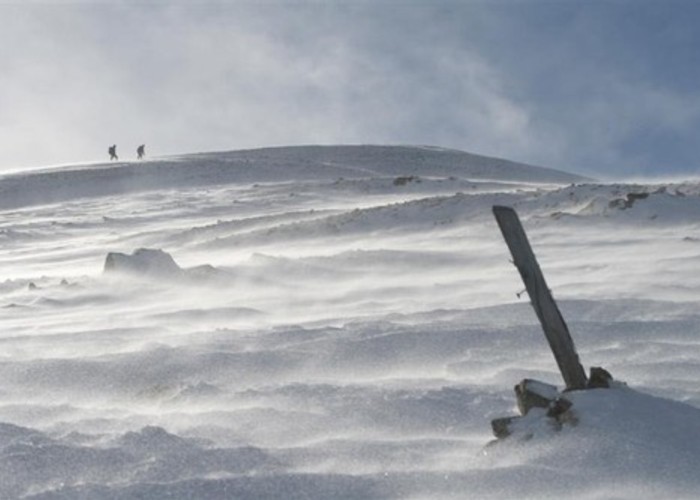
A final clamber up scree leads to the summit of Castle Hill Peak, marked by a trig point. Beyond here, the ridge deteriorates quickly toward The Gap.
The return is straightforward, although the descent from Foggy Peak is a steep and slippery slog, and one of those situations where you think it's time to buy some of those walking poles people like so much.