Kitekite Track
Waitakere Ranges Regional Park
- 20 min one way
- Easy
- Kitekite Falls describes the usual circuit into the falls along the Kitekite, Knutzen, and Byers Tracks.
- Byers Walk is a short alternative along the other side of Glen Esk Stream.
- Knutzen Track provides access to the Falls themselves.
- Connect Track visits the top of the Falls, and leads to the Winstone Track.
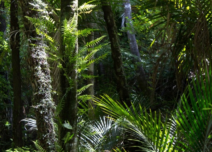
Pleasant Piha walk along Glen Esk Stream.
1 member favourited
|
Walking time
|
20 min |
|---|---|
|
Distance
|
1.8km |
|
Type
|
One way
|
|
Grade
|
Easy
Wide and smooth track with a long staircase. Grades explained
|
|
Bookings
|
No bookings — open access
No — open access
|
|
Starts
|
Glenesk Road car park, Piha |
|---|---|
|
Ends
|
Junction with Knutzen and Connect Tracks near Falls. |
|
Maps
|
-
|
|
Altitude
|
20m
–
80m
Altitude change 60m
|
Piha has a rich and complicated network of track. Technically, the Kitekite Track doesn't reach the Kitekite Falls themselves — access is described here: Kitekite Falls.
From Glenesk Road car park (toilets, information, water, and picnic area), take the wide, smooth track past an old kauri stump. The track leads up the Glen Esk Stream, past a couple of bridges, soon coming upon a junction with the Knutzen Track. Keeping left, the track crosses Glen Esk Stream and climbs a long stairway. It ends at the top, with the Connect Track leading off to the left and the Knutzen Track leading off to the right.
Connecting tracks
ID 15944
About this track
36 views in the past year (3 per month).