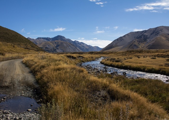
Maling Pass Track
St James Conservation Area

The start of the 4WD road over Maling Pass. This road is open to vehicles and bikes.
Lake Tennyson is in the middle of this picture but contained behind a moraine wall. Mounts McCabe and Princess (2126m) are on the left, while the Crimea Range is on the right. Maling Pass is off to the left of Mount Princess.
