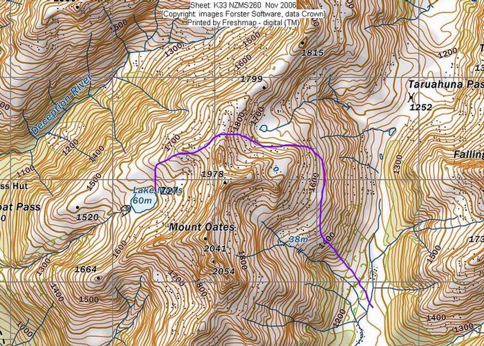
Lake Mavis
Arthur's Pass National Park
- 2 days return via same track
- Medium
A side trip off the popular Mingha-Deception route in Arthur's Pass.
|
Walking time
|
2 days
14 hr
|
|---|---|
|
Type
|
Return via same track
|
|
Grade
|
Medium |
|
Bookings
|
No bookings — open access
No — open access
|
|
Starts
|
Greyneys Shelter, SH73 5km south of Arthur's Pass Village |
|---|---|
|
Maps
|
NZTopo50-BV20
|
|
Altitude
|
670m
–
1,590m
Altitude change 920m
|
From Greyney's Shelter, do not cross the Bealey River directly but head north and cross just above the confluence with the Mingha. If the river is too high to cross, abandon the trip.
Follow the Mingha riverbed to a gorge (about 1 hr). Look for a track starting beyond a creek on the true right. The track climb away from the river over Dudley and then returns to follow it, emerging on the riverbed just short of the Mingha Biv.
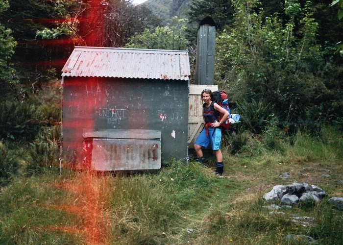
Eventually, the river bends west where a stream descends through subalpine scrub from Goat Pass. The track over the pass resumes here on the stream's true left. Continue on to the suimmit of the pass. Goat Pass Hut is in a hollow just north of here.
Climb the tussock and scree spur east of the pass. The ridge leads easily to the lake.