Rimutaka Forest Park
A small block of forest close to Wellington, and abutting Tararua Forest Park. A popular spot for picnics, day walks and overnighters.
Highlights
- A day walk up Mount Matthews to the highest point in the park (941m)
- Book a private cabin in the Orongorongo Valley for a fun overnighter
How to get there
The main entrance is via the Catchpool Valley, just 45 minutes from Wellington. Heading out of Wellington on SH2, turning off at the Hutt Valley and heading through Wainuiomata. Follow the Main Road which becomes the Coast Road, for about 15 minutes, and watch for the signposted park entrance on the left.
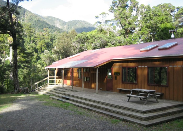
The Catchpool Valley entrance features a very large car park, picnic area, information shelter, toilets, and several short walks. A campground with showers and emergency telephone is also located here.
Note that Catchpool Valley gates are closed 8pm-6am summer and 6pm-6am winter. A ford on the road may become impassible in flood.
Where to stay
Roadside campsites include:
- Catchpool Valley Campsite
- Corner Creek Campsite on Palliser Bay.
Both campsites have toilets and cooking shelters. The Catchpool Valley Campsite also offers tapwater, hot showers, flush toilets, and an emergency telephone.
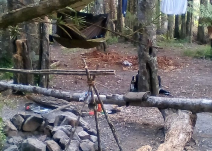
Grace's stream campsite is a small, free walk-in site just 800m from the Catchpool carpark. Toilets are the only amenities.
Accessibility
Catchpool Valley Campsite is wheelchair-accessible. The Tawa Grove Walk in Catchpool Valley is wheelchair-accessible.
The basics
- Entrance fee: there are no fees for New Zealand conservation parks.
- Pets: dogs are permitted in most areas but generally must be on lead. The park is home to brown kiwi which are vulnerable to dog attack. Full details about dog access.
- Vehicles: the Rimutaka Rail Trail is the most common mountain bike route in the park. Mountain bikes are permitted in logged areas of the Catchpool Valley.
- Overnight camping and walking: no fees, registration, or restrictions for the backcountry.
- Check in at the visitor centre for weather conditions and current information.

Hazards
- Rivers in flood are hazardous to cross. If in doubt, wait it out. The Orongorongo River in particular can take days to return to safe levels.
Visitor information
Pōneke / Wellington Visitor Centre
18 Manners Street, Wellington
+64 4 384 7770
Full contact details
|
Area
|
220 square kilometres |
|---|---|
|
Maps
|
NZTopo50-BP33
NZTopo50-BQ32 |