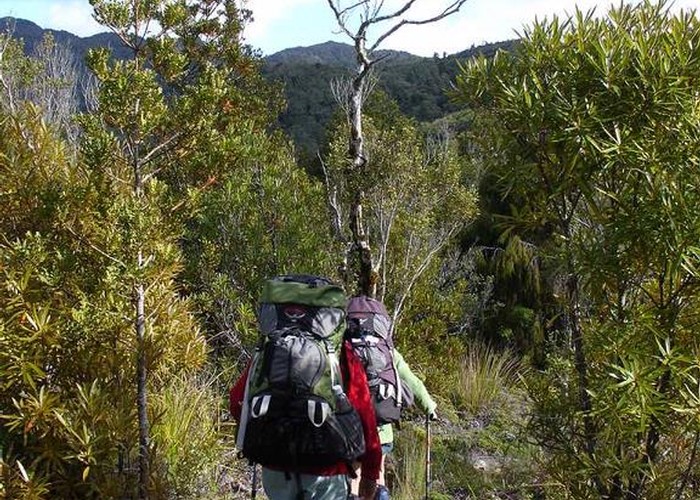
Kaimai-Mamaku Forest Park
A narrow strip of land including the Kaimai Ranges and the Mamaku Plateau.
The low, eroded ranges are volcanic in origin, being a continuation of the volcanics of the Coromandel Peninsula. A forested scarp forms the western boundary of the park along the Okauia Fault. Here, the park rises steeply over the farmland of the Hauraki Plains. The park's highest point is Te Aroha (952m), located on the scarp just behind the town of the same name.
The park marks the northern limit of red and silver beech, and kamahi. It is also the southern limit of kauri, for which the Kaimais were logged extensively. The popular Waitawheta Tramway explores this history, following the route along which logs were hauled all the way back to the milling site.
|
Area
|
371 square kilometres |
|---|---|
|
Maps
|
NZTopo50-BC35
|