Woolshed Hill
Arthur's Pass National Park
- 4 hr – 6 hr hawdon valley
- Medium
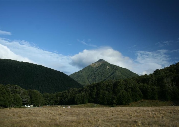
The track begins steeply climbing through beech forest from near the Hawdon carpark. It emerges into brilliant dracophyllum draped tops with impressive views of the Hawdon Valley and beyond.
|
Walking time
|
4 hr – 6 hr |
|---|---|
|
Distance
|
10.0km |
|
Type
|
Hawdon Valley
|
|
Grade
|
Medium |
|
Bookings
|
No bookings — open access
No — open access
|
|
Maps
|
NZTopo50-BV21
|
|---|---|
|
Altitude
|
1,429m |
The track to Woolshed Hill begins behind Kidson Lodge which is not far from the Hawdon Valley Shelter. The track leading into the beech forest is marked with a big orange triangle, so is easy to spot. It climbs steeply for about an hour before levelling off and providing some views through the trees to the valley floor.
Not long after the view points the track emerges from the trees altogether into bright orange dracophyllum scrub. Now there are glorious views across to Sudden Valley. Follow the path through the scrub, along the ridge, sometimes passing through bare, rocky slopes and sometimes through a bit of tussock and clumps of trees. There are a few small tarns nestled between moraine walls that make a lovely rest spot if you want a short day but if you want to continue to the summit of Woolshed Hill, pass by these and continue along the ridge.