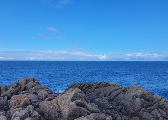
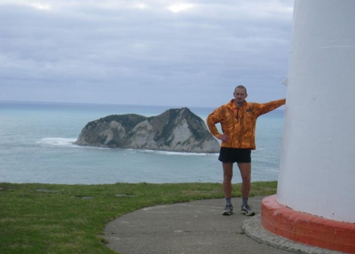
Walking the length of NZ's main divide
- 150 – 300 days one way
- Hard
A guide to one possible route from East Cape to West Cape, the length of NZ's main divide.
(work in progress)
|
Walking time
|
150 – 300 days |
|---|---|
|
Type
|
One way
|
|
Grade
|
Hard
Where do I start - this trip has everything! Grades explained
|
|
Bookings
|
No bookings — open access
No — open access
|
|
Starts
|
East Cape |
|---|---|
|
Ends
|
West Cape |
|
Maps
|
NZTopo50-BD45
NZTopo50-BQ32 NZTopo50-CF04 NZTopo50-BQ29 |
This track provides links to those bits of this route that have been written up.
North Island
East Cape to Motu Road - (Raukumaras)
Route guide: http://tramper.co.nz/?10174
Trip report: http://tramper.co.nz/?10198
Motu Road to SH2 (Waioeka) - (Urutawas)
Route guide: http://tramper.co.nz/?10231
SH2 (Waioeka) to SH38 (Waikaremoana Summit) - (Waioeka / Urewera)
Route guide: http://tramper.co.nz/?10242
SH38 (Waikaremoana Summit) to SH5 (Rangataiki) - Whirinaki
- to be written
SH5 (Rangataiki) to Napier-Kurikapango - (Kaimanawa / Kawekas)
- to be written
Kurikapango to SH3 (Woodville ) - (Ruahines)
To be written , but an older trip report, heading south-north is here: http://tramper.co.nz/?1648
Woodville to SH2 (Rimutaka Hill Rd summit) - Tararuas
To be written, but part of this is covered here
Route guide: http://tramper.co.nz/?1617
Rimutaka Hill Rd summit - Wellington - (Rimutakas)
- to be written
South Island
Picton to Okaramio (SH6) - Richmond Ranges (east)
Route Guide: http://tramper.co.nz/?1960
Okamario to St Arnaud - Richmond Ranges (west)
Route Guide: http://tramper.co.nz/?1943
St Arnaud to Lewis Pass (Nelson Lakes)
Route Guide: http://tramper.co.nz/?1962
Lewis Pass to Otira
To be written, but covered in the following:
Nina - Devilskin - Doubtful - Lake Man - Hope Kiwi:
(article here on site, but can't find it...)
Harper Pass
http://tramper.co.nz/?216
Otira to Mt Cook Village:
Route Guide:
Part 1 - http://tramper.co.nz/?6369
Part 2 - http://tramper.co.nz/?6370
Mt Cook Village to Makarora:
To be written
Makaroroa ro Aspiring Roadend
To be written, but covered here:
http://tramper.co.nz/?5298,
Everything south of the Aspiring roadend ...
To be walked