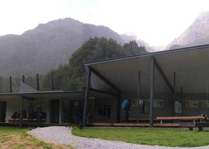
Routeburn Shelter
Mount Aspiring National Park, Te Wāhipounamu - South West New Zealand World Heritage Area
Enclosed shelter at the Wakatipu end of the Routeburn Track. Overnight use prohibited.
|
Owner
|
Owner: DOC |
|---|---|
|
Category
|
Shelter |
|
Sleeps
|
Sleeps 0
0
|
|
Facilities
|
Toilet |
|
Water supply
|
No water |
|
Getting there
|
Located at the Routeburn Road end, Kinloch, 68km from Queenstown. |
|---|---|
|
Unlocked
|
This hut is unlocked and open to access. |
|
Bookings
|
No bookings — open access
No — open access
|
|
Altitude
|
450m |
|---|---|
|
Mobile phone coverage
|
No coverage |
|
Maps
|
NZTopo50-CB09
|