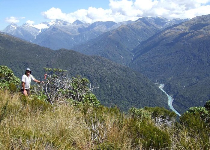
View up Whitcombe from Meta Range Feb 2011

This pic looks out over Frews Ck and up the Whitcombe River to those famed spots of hunting folklore The Cropp, Prices Basin & Wilkinson River. It was taken from the tussock slopes on the SE cnr of the Inframeta Tops.
Some good news is that a tough bush & scrub bash is no longer required to reach these tops as two "Permolat" members have reopened an overgrown cullers track that had not been maintained since NZFS days. This Inframeta tops track starts about 15 mins up the Frew Saddle track from the sign at Tom Creek. It will take most people at least 2hrs to reach the tussock line on Inframeta from Frews hut using the newly opened up track. To reach the summit from the tussock line takes about another hour.
