Mount Cassidy
Arthur's Pass National Park
- 4 hr 30 min return via same track
- Medium/hard
A short but challenging climb from Arthur's Pass Village.
|
Walking time
|
1 day
4 hr 30 min
|
|---|---|
|
Distance
|
6.0km |
|
Type
|
Return via same track
|
|
Grade
|
Medium/hard
Avalanche risk, steep with very unstable scree, light marking Grades explained
|
|
Bookings
|
No bookings — open access
No — open access
|
|
Starts
|
Devil's Punchbowl car park, Punchbowl Road, Arthur's Pass Village |
|---|---|
|
Maps
|
NZTopo50-BV20
|
|
Altitude
|
750m
–
1,850m
Altitude change 1,100m
|
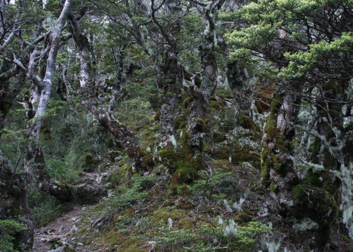
Con's Track offers a vigorous but safe climb to the bushline with views of the Punchbowl Falls. Beyond here, the track is distinctly more hazardous. The route to the summit is largely unmarked, climbing unstable scree, crossing boulder fields, navigating around bluffs, and crossing avalanche paths.
From the Devil's Punchbowl Falls car park, cross the Bealey River bridge and look for the track marker in the forest at left (the first marked track is the Bridal Veil Falls Track, the second is Con's Track). The track climbs quite steeply along a narrow spur beside the waterfall through low beech forest, reaching the bushline in about 50 minutes.
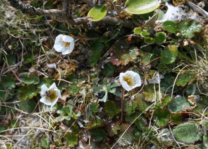
From here, the track continues up the narrow spur through a subalpine herbfield. Listen for rock wren around here, particularly in the long scree slope to the right. A DOC sign describes the remainder of the journey from here on as a mountaineering route.
At the top of the little spur, poles lead leftward and gently upward under some bluffs. Soon, a close row of three poles indicate the direction uphill, easing slightly to the right. From here, there are no obvious markers, just a few subtle cairns. Keep to the right in line with the poles, and you should enter a narrow scree chute. Take care as the scree is very mobile and it is very easy to dislodge very large rocks. Make sure no members of your party are below you! In parts, there is a light track on the solid rock to the left of the scree.
At the top of the bluffs (1 hour from bushline), a large triangle is screwed to a rock: take note of this for the return journey. The route crosses a small plateau then leads up the ridge line to the right. The route is over large, relatively stable boulders all the way to the summit (1 hour 45 minutes from bushline). Southeast is the catchment above the Devil's Punchbowl Falls, north is the Temple Basin Skifield, and northeast the ridge continues to Blimit.
Return route
Follow the ridge rather steeply downward as it bends left, and identify the small half-moon plateau above the bluffs. Toward the right edge of this plateau, a triangle indicates the correct scree chute leading down. Keep out of the chute itself where possible. The three snow poles are down and to the right. From here, turn sharp left and follow the poles under the bluffs. The small ridge then leads down to the tree line. Walking times: 45 minutes to shelf, 15 minutes to poles, 20 minutes to bushline, 40 minutes to car park.