Mataitai Forest
- 2 hr – 8 hr loop track
- Easy/medium
Day tramps on a series of tracks through regenerating broad leaf forest. Mataitai Conservation area is a short way from Auckland, suitable for the reasonably fit and adventurous. The track system is very good, though no map is available at the car park as stated on the DoC website. A map and compass are highly recommended.
|
Walking time
|
0 – 1 day
2 hr – 8 hr
|
|---|---|
|
Distance
|
10.0km |
|
Type
|
Loop track
|
|
Grade
|
Easy/medium
track partially overgrown, muddy and steep in parts Grades explained
|
|
Bookings
|
No bookings — open access
No — open access
|
|
Starts
|
Ness Valley Road, off Clevedon Kawakawa Road |
|---|---|
|
Maps
|
NZTopo50-BB33
|
|
Altitude
|
80m
–
340m
Altitude change 260m
|
|
Link
|
www.alpinesport.org.nz/mataitai.htmhttp://www.alpinesport.org.nz/mataitai.htm |
|---|
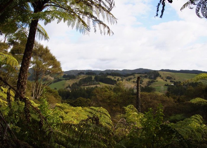
Mataitai Conservation Area is a small forest in Ness Valley, east of Clevedon. It contains several tracks, many of which can be combined to form loops at varying lengths.
The DoC website states that track planning should occur at the car park on Ness Valley Rd (off Clevedon Kawakawa Rd) though we found no sign there and had to rely on our own map. (Afterwards, I found a good map with the tracks marked in their respective colours as per signage in the forest: http://www.alpinesport.org.nz/mataitai.htm - thanks to David Wilkins)
We set off from the carpark (2 adults, 5 children ranging in age from 5 to 11). Shortly after crossing private land a bridge crosses a small steam which brings us straight into the forest. After a further 600m or thereabouts, a fork in the path leads to the "orange" track, which is the main track. This track follows a considerable area around the forest. It is well marked, as are the other tracks. While the DoC website indicates that the tracks are for "experienced trampers only", we had no trouble following the orange and pink (Puriri) tracks in a loop.
Many parts of the path were muddy, and freqent smaller stream crossings are required on the southern part of the (orange) main track, but even the 5-year old managed well. After an initial climb, the path follows a series of ridges, drops down to the valley floor (the pink Puriri Track) and climbs back up to another ridge for the way out. All up, we walked about 8 km in 5 hours (taking regular breaks because of the children) and had a wonderful day.