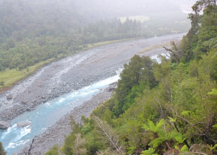
Harman Pass - Taipo River - Kelly Saddle
Arthur's Pass National Park
- 3 – 5 days one way
- Medium/hard
A long journey through the west of Arthur's Pass National Park.
3 members favourited
4 members checked in
|
Walking time
|
3 – 5 days |
|---|---|
|
Type
|
One way
|
|
Grade
|
Medium/hard |
|
Bookings
|
No bookings — open access
No — open access
|
|
Starts
|
Kelly's Creek Shelter, SH73, north of Otira |
|---|---|
|
Ends
|
Klondyke Shelter, SH73, just north of Waimakariri River Bridge |
|
Maps
|
NZTopo50-BV20
|
|
Altitude
|
350m
–
1,500m
Altitude change 1,150m
|
ID 279
About this track
65 views in the past year (5 per month).