Lake Sumner Conservation Park
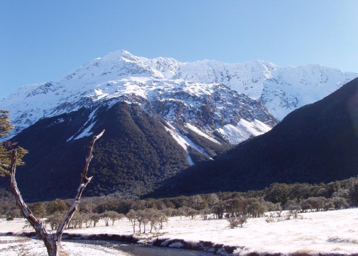
Lakes and forested hills in this sprawling park provide good tramping, and contrast with the rugged alpine environment of Arthur's Pass National Park to the southwest. Highest point: 1980m (Mt Crossley).
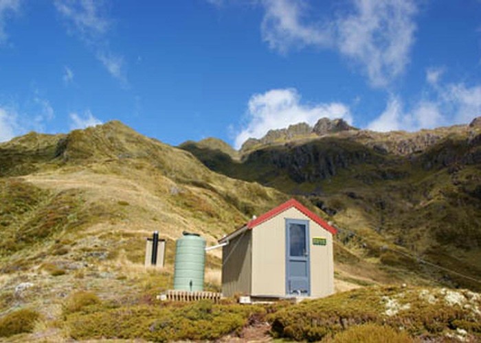
In the south, the park occupies the dry burned-off hills around the Hurunui River and Lake Sumner itself. Further north, the park includes the mountains near the Lewis Pass Highway. On the whole, it is not a park for roadside picnickers, but a park you must walk to. And it is a park that is well served by both huts and trails.
Highlights
- Soak in hot pools on the Hurunui River or Mackenzie Stream
- Visit Lake Christabel and stay at the nearby hut
- Take a day or overnight wander along the Lewis Tops
How to get there
The park is accessed at various points on the Lewis Pass Road, SH7, between Springs Junction and Hanmer Springs. Key access points (north to south) are:
- St James Walkway car park, Lewis Pass (access to Lewis Tops). Driving time from Christchurch: 2:15.
- Nina River, opposite Palmer Lodge, marked with "NZDA" (access to the upper Nina Valley, Devilskin Saddle, Sylvia Tops).
- St James Walkway car park, Boyle River (access to Magdalen Hut and the St James Walkway).
- Rest area opposite Doubtful River (access to the Doubtful Valley).
- Windy Point (access to the Hope Valley and Lake Sumner). Driving time from Christchurch: 2:00.
Access is also from the Lake Sumner Road inland from Harwarden. Key points (north to south) are:
- Lake Taylor camping area, and end of 2WD access (access to Lake Sumner and the Hurunui Valley). Driving time from Christchurch: 2:20.
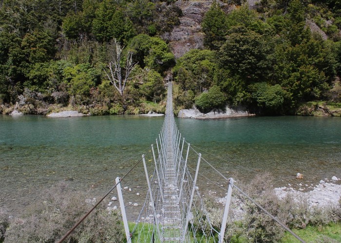
- Sisters Swingbridge (access to the eastern end of Lake Sumner, Gabriel Hut, and the Jollie Brook circuit).
- Jollie Brook Swingbridge (access to Cold Stream Hut, Jollie Brook Hut, and the Jollie Brook circuit).
Where to stay
Camping areas are located at Lake Taylor and Loch Katrine on the Lake Sumner Road. Camping is also available at Deer Valley on the Lewis Pass Highway.
The basics
- Entrance fee: there are no fees for New Zealand conservation parks.
- Pets: dogs and pets are not allowed in Lake Sumner Conservation Park due to the presence of kiwi. Dogs are allowed on leash at the Lake Taylor and Loch Katrine Camping Areas.
- Vehicles: 2WD vehicles may drive along Lake Sumner Road to Lake Taylor. The road to Loch Katrine is suitable for mountain bikes and 4WD vehicles only. The park is open to mountain bikes, with good cycling around Lake Sumner.
- Overnight camping and walking: no fees, registration, or restrictions for the backcountry.
- Check in at the visitor centre for weather conditions and current information.
Hazards
- Rivers in flood are hazardous to cross. If in doubt, wait it out.
- Avalanches cross some tracks in winter, spring, and early summer. Be aware of avalanche paths.
- Amoebic meningitis is a risk at any geothermal pools. Keep your head above water.
- Introduced wasps are a problem from January to April as wasps feed on honeydew in the beech forest. Wasp numbers peak in late summer.
Visitor information
Hurunui Visitor Information Centre
42 Amuri Ave, Hanmer Springs
+64 3 315 0020
Full contact details
|
Area
|
1,058 square kilometres |
|---|---|
|
Maps
|
NZTopo50-BT24
NZTopo50-BU22 NZTopo50-BU21 NZTopo50-BV23 NZTopo50-BV22 NZTopo50-BT23 NZTopo50-BU23 |