Pirongia Forest Park
Two ancient volcanic cones south and west of Hamilton: Pirongia (959m), and the smaller Karioi on the coast at 756m.
Pirongia was shaped by a series of eruptions 2.5 million years ago. More recently, the forest cover was obliterated by the eruption of Taupo in 182AD.
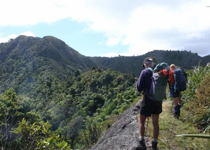
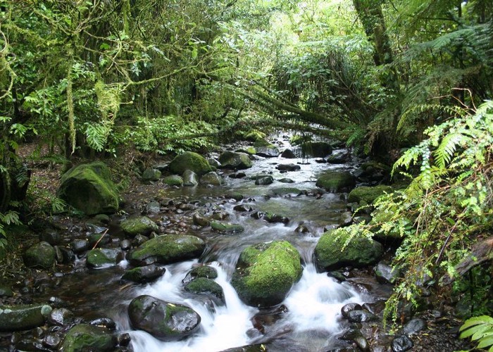
Several tracks radiate from the summit of Pirongia, offering a few choices of day or overnight trips. The landscape is entirely forested, with some pretty areas of podocarp forest. The country's tallest kahikatea tree (66.5m) is found within the forest. The forest is also home to the rare Dactylanthus parasitic plant.
Karioi is a worthwhile walk, with two tracks climbing to its summit, and splendid views along the coastline.
|
Area
|
171 square kilometres |
|---|---|
|
Maps
|
NZTopo50-BD31
NZTopo50-BE33 |