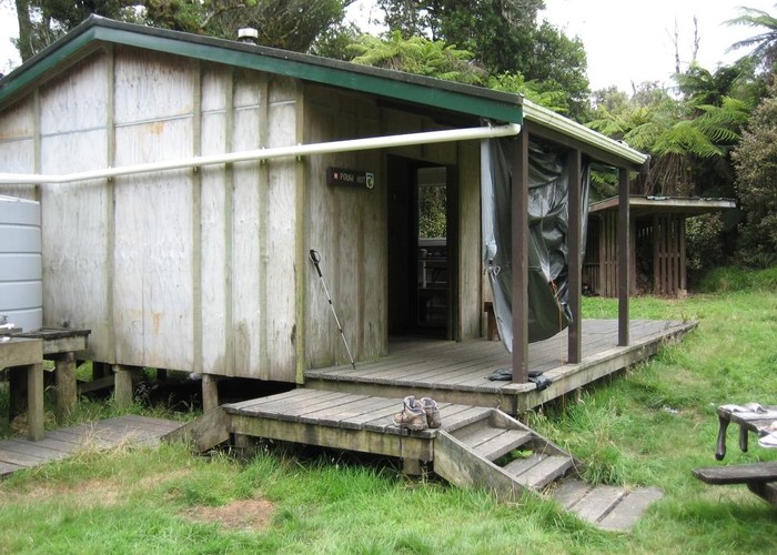
Whanganui National Park
Lowland forest surrounding the long and sinuous Whanganui River, the longest navigable river in New Zealand. New Zealand's 11th national park, gazetted in 1986.

|
Area
|
742 square kilometres |
|---|---|
|
Maps
|
NZTopo50-BH34
NZTopo50-BH33 NZTopo50-BK32 NZTopo50-BK33 NZTopo50-BL33 NZTopo50-BJ32 NZTopo50-BL32 NZTopo50-BH32 |
ID 1436
About this place
Added 10 June 2006 by matthewmatthew.
No revisions.
41 views in the past year (3 per month).