Kahurangi Point
Kahurangi National Park
- 8 hr return via same track
- Medium
- Big River is most easily crossed during spring tides, just after new and full moon.
- Plan to cross Big River right on low tide. Start walking from Anatori at least 3 hours before low tide.
- Check times of low tide. Low tide here is 1 hour after low tide in Nelson.
- Check weather conditions: rough seas or rain in the hills can make rivers uncrossable.
- Whanganui Inlet is remote. Take petrol and extra food.
- Driving distance from Pakawau to Anatori is 43km, but the roads are narrow, winding, and dusty. Allow extra time.
Unmarked beach route to the old lighthouse keeper's hut.
1 member favourited
|
Walking time
|
1 – 2 days
8 hr
|
|---|---|
|
Type
|
Return via same track
|
|
Grade
|
Medium
Unmarked beach route with two significant river crossings. Check tides. Grades explained
|
|
Bookings
|
No bookings — open access
No — open access
|
|
Starts
|
Anatori car park, Cowin Road, southwest of Whanganui Inlet |
|---|---|
|
Ends
|
Kahurangi Point |
|
Maps
|
NZTopo50-BN22
NZTopo50-BN23 |
|
Altitude
|
Sea level |
Drive from Pakawau down Whanganui Inlet on Dry Road. Continue down Cowin Road to Anatori. Park here; large 4WD vehicles could cross the river and continue on to the Turimawiwi River.
Cross the river and head south down the coast. Both Anaweka and Big Rivers must be crossed at or near low tide. Cross Anaweka River at the beach. Cross Big River at the river mouth if sea conditions allow or head up the estuary to an old tractor and cross the estuary here.
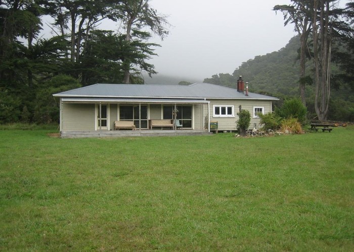
The lighthouse at Kahurangi Point was constructed in 1903 and marks the edge of Kahurangi National Park.
Planning:
ID 8127
About this track
Added 12 August 2012 by matthewmatthew.
No revisions.
138 views in the past year (12 per month).