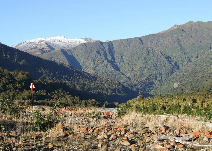
New marked route up north bank of Waitaha River June 2012

DOC have marked and cut a new route up the north bank of the Waitaha as far as the swingbridge at the top of the Morgan Gorge. Here you can cross the bridge and join the existing south bank track at the bottom end of Kiwi Flat.
To reach the track start, drive Waitaha Road to the last S bend before the seal ends. From the western corner of the S bend take the drivable track (it is legal road line) and head toward the river. There is a small car park at NZTM2000 E1415174, N5228962 where it is advisable to leave two wheel drive vehicles. The marking on the new route starts from here. Initially the route is a mix of 4x4 track & river edge boulder hopping but it eventually becomes a cut track through high bush. Allow 3hrs to reach Kiwi Flat hut.
The photo was snapped on a river edge section of the new route & shows one of the new markers. The location it was taken from is just below Macgregor Creek. The mountain in the background with snow on it is Mt Durward.
