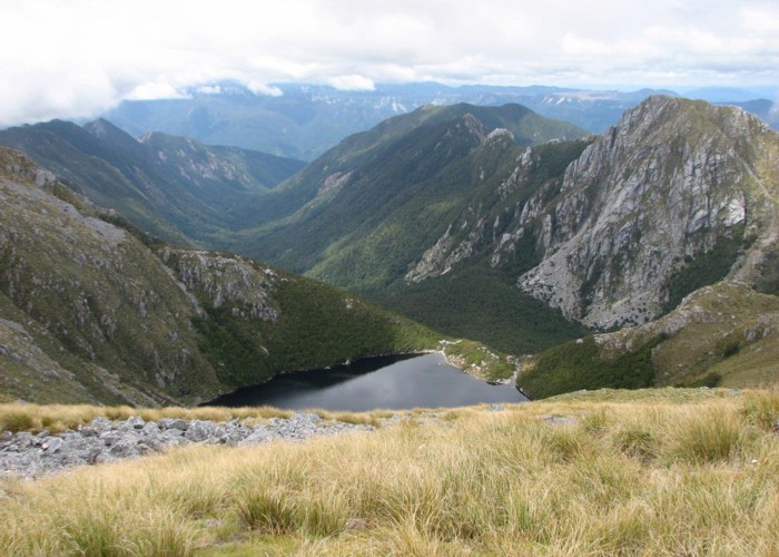
Mt Glasgow 1424m
- 6 hr – 8 hr return by the same track
- Medium
A superb day walk in behind the sleepy village of Seddonville.

2 members favourited
|
Walking time
|
1 – 2 days
6 hr – 8 hr
|
|---|---|
|
Type
|
Return by the same track
|
|
Grade
|
Medium |
|
Bookings
|
No bookings — open access
No — open access
|
|
Starts
|
Off Charming Creek road. In dry conditions side road off Charming Creek road is 2WD driveable for 3km |
|---|---|
|
Ends
|
Return the same way |
|
Maps
|
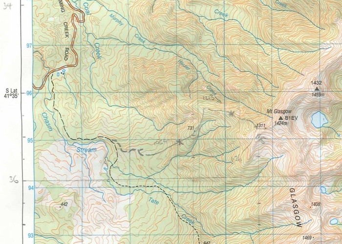
NZTopo50-BR22
|
|
Altitude
|
1,424m |
April 2023: current Topo50 map shows track line incorrectly from 960m contour (bush edge). Topo shows track to continue due East to 1200m contour, whereas the actual pole-marked track turns ESE and goes back into bush. Once in bush track is marked again with regular triangles plus occasional flagging tape.
