Lower Waipakahi Valley
Kaimanawa Forest Park
- 5 hr – 7 hr one way
- Easy/medium
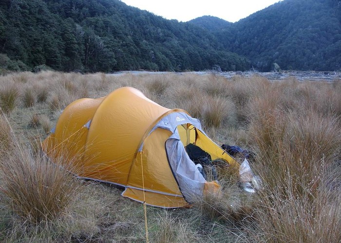
A nice easy valley with very pleasant camping all the way along its length
|
Walking time
|
1 – 2 days
5 hr – 7 hr
|
|---|---|
|
Distance
|
16.0km |
|
Type
|
One way
|
|
Grade
|
Easy/medium |
|
Bookings
|
No bookings — open access
No — open access
|
|
Starts
|
Waipakihi Rd |
|---|---|
|
Ends
|
Urchin Track Junction |
|
Maps
|
NZTopo50-BH35
NZTopo50-BJ35 |
|
Altitude
|
870m
–
960m
Altitude change 90m
|
The Waipakihi Valley is one of the most pleasant valleys to tramp up in the Central North Island. It is a wide valley with nice flats and camping places amongst beech forest are plentiful all the way up the valley.
Access to the lower valley is from Waipakihi Rd, which turns off Highway 1 just north of the summit of the Desert Rd. Waipakihi Rd is sealed but has no legal status. It just crosses Maori Land to get to the Forest Park and is not maintained. Be careful of potholes.
After about 5kms, just before the road descends to the river there is a gravel parking area on the right. Don’t bother driving past here as turning might get tricky.
Walk down the road and follow the rough track next to the river going up stream. Don’t follow the road down stream. The road used to go right through here but has been washed out by the river. The track regains the road further up and goes as far as a large bend in the river. In the bush here is an old picnic area complete with picnic tables. It is still a good place to camp.
From here the route follows up stream. The going is easy and it is just a matter of finding your own way up. Within the first half-hour you cross the Waikato Stream. This is officially the source of the mighty Waikato River, even though it is smaller than the Waipakihi, which it joins.
After another half hour a strange object is passed sticking out of the ground beside the river. This is a vent for the Moawhangi-Tongariro tunnel, which passes below your feet at this point. It has been exposed by erosion from the river.
The trip from here up is as uneventful as it is enjoyable. There are lovely deep pools to swim in and you can even fish for rainbow trout up here. Camp anywhere you like and relax.
A major junction is where the track turns off to the cross the Urchin. The road is 3 hours from this point or you can continue up valley for another 4-5 hours to Waipakihi Hut. The turn off to Thunderbolt and the Rangitiki Valley is about 45 mins up stream from here.
ID 5180
About this track
110 views in the past year (9 per month).