St James Conservation Area
A large new recreational area featuring tussock grasslands, and including the headwaters of the Waiau and Clarence Rivers.
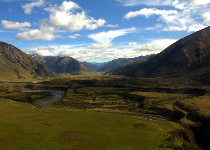
The purchase of the St James Station in 2008 opened up a large new recreational area, including a great deal of retired pastoral land.
Major tracks in the area include the Saint James Walkway (5 days) and the Saint James Cycle Trail (1-2 days cycle or 5 days walk). The Te Araroa Trail also crosses the area from Waiau Pass to Boyle Village.
Highlights
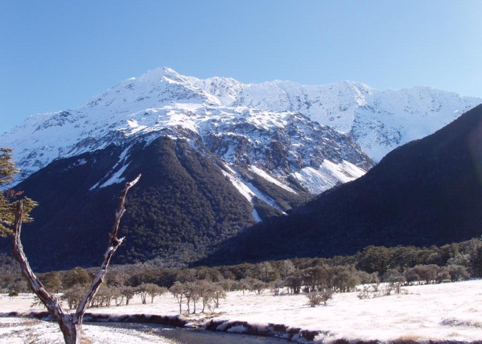
- Walk the 66km St James Walkway, a journey through beech forest and retired pastoral landscapes.
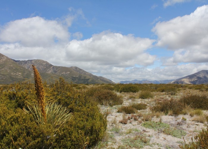
- Walk or cycle the St James Cycle Trail in the drier east of the park.
- Visit the historic Stanley Vale Hut, the St James Homestead woolshed, and other historic sites.
- Relax in the Cow Stream hot pools.
- Ease yourself in with a day walk on Peter's Loop.
How to get there
The western St James is accessed from SH7, the Lewis Pass Road, 187km / 2.5 hours from Christchurch.
The eastern areas of the park are bordered by Tophouse Road behind Hanmer Springs. The 50km drive from the township through to Lake Tennyson is slow going on a corrugated dirt road, suitable for regular cars outside of winter months. Take Jacks Pass Road, and turn onto Clarence Valley Road at the skifield sign. Turn left onto Tophouse Road at the Clarence River.
Where to stay
Roadside campsites are available at Deer Valley on Lewis Pass, and Lake Tennyson on Tophouse Road. Both campsites have toilets and natural water supply.
There are a range of options available in Hanmer Springs, including camping areas, hostels, hotels, and rental houses.
Accessibility
There was a plan in 2012 to upgrade Peter's Loop (the Homestead Run) to stroller/wheelchair standard. There is no information online to indicate this has happened.
The basics
- Entrance fee: there are no fees for New Zealand conservation areas.
- Pets: dogs are allowed east of the Waiau River - permits are required from DOC Waimakariri office.
- Vehicles: 4WD vehicles are permitted on the Edwards Valley and Maling Pass tracks - contact DOC Waimakariri office. Mountain bikes are permitted anywhere east of the Waiau River and on specific routes to Anne and Christopher Huts. Horses are permitted everywhere except the St James Walkway.
- Overnight camping and walking: no fees, registration, or restrictions for the backcountry.
- Check in at the visitor centre for weather conditions and current information.
- Open fires are prohibited. Gas burners and fires in provided barbecues are allowed.
Hazards
- Rivers in flood are hazardous to cross. If in doubt, wait it out.
- Many tracks are subject to avalanche hazards from winter to early summer, including the St James Walkway, Waiau, Maling, and Fowlers Passes.
- Many routes in the park are exposed to alpine conditions. Warm and waterproof clothing must be carried.
- Amoebic meningitis is a risk at any geothermal pools. Keep your head above water.
Visitor information
DOC Waimakariri Area Office
32 River Road, Rangiora
+64 3 313 0820
Full contact details
|
Area
|
782 square kilometres |
|---|---|
|
Maps
|
NZTopo50-BT24
NZTopo50-BT23 NZTopo50-BS24 |