Rolleston Pack Track
Lewis Pass National Reserve
- 40 min – 1 hr one way
- Easy
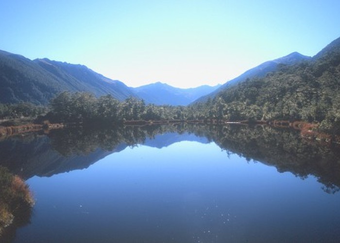
An old pack track near Lewis Pass. This is a pleasant forest walk, and an alternative to walking along the road between Deer Valley Camping Area and the St James car park.
|
Walking time
|
40 min – 1 hr |
|---|---|
|
Distance
|
2.0km |
|
Type
|
One way
|
|
Grade
|
Easy |
|
Bookings
|
No bookings — open access
No — open access
|
|
Starts
|
Lewis Pass, SH7 |
|---|---|
|
Ends
|
Deer Valley Camping Area, south of Lewis Pass |
|
Maps
|
NZTopo50-BT23
|
|
Altitude
|
800m
–
900m
Altitude change 100m
|
This track sets off from the Lewis Pass shelter and car park (the beginning is unmarked) and leads south, sidling above the road in pretty beech forest. The track is muddy in spots. Soon the track drops down to the road at Goings Creek.
Deer Valley Picnic and Camping area is a few minutes' further down the road. Water and toilets at Lewis Pass Shelter, toilets at Deer Valley.
ID 345
About this track
105 views in the past year (9 per month).