Foleys Creek Track - Travers Peak
Lake Sumner Conservation Park, Lewis Pass National Reserve
- 5 hr return via same track
- Medium
- 1 hour 20 minutes to treeline
- 1 hour 30 minutes to summit
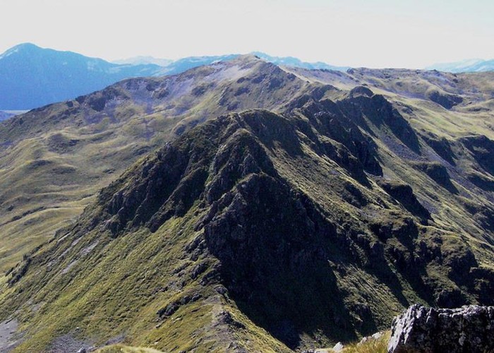
A poled route to the summit of Travers Peak near Lewis Pass
2 members favourited
2 members checked in
|
Walking time
|
1 day
5 hr
|
|---|---|
|
Distance
|
7.0km |
|
Type
|
Return via same track
|
|
Grade
|
Medium |
|
Bookings
|
No bookings — open access
No — open access
|
|
Starts
|
Deer Valley Camping Area, south of Lewis Pass |
|---|---|
|
Maps
|
NZTopo50-BT23
|
|
Altitude
|
800m
–
1,724m
Altitude change 924m
|
The Foleys Creek Track starts opposite Deer Valley Camping Area, and sidles alongside the road through mossy beech forest. Soon, it turns and climbs alongside Goings Creek, leading quickly onto onto alpine herbfield with no scrub or tussock band. Poles lead directly uphill, following the narrow spur between Goings and Foleys Creeks.
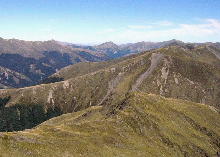
The summit offers impressive views of Lewis Pass and the mountains around the St James Track.
Walking times:
ID 344
About this track
241 views in the past year (20 per month).