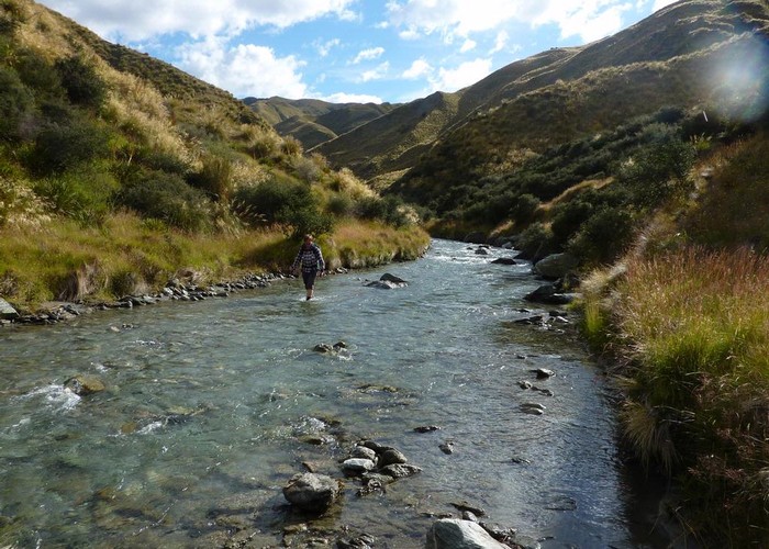
Motatapu Track
- 3 days one way
- Medium
A new track crossing the tussock tops of the Motatapu and Soho Stations to link Wanaka and Arrowtown, and forming part of the Te Araroa Trail.
1 member favourited
2 members checked in
|
Walking time
|
3 days
17 hr – 21 hr
|
|---|---|
|
Distance
|
29.0km |
|
Type
|
One way
|
|
Grade
|
Medium |
|
Bookings
|
No bookings — open access
No — open access
|
|
Starts
|
Fern Burn car park, Matukituki Valley, near Wanaka |
|---|---|
|
Ends
|
Macetown, near Arrowtown |
|
Maps
|
NZTopo50-CB11
NZTopo50-CB12 |
|
Altitude
|
1,275m |
This track crosses private land. Please ensure gates are left as found and stiles are used where available. The track is very new and many sections are undeveloped apart from a line of marker poles. The track may be walked in either direction, with the Macetown end being a few more hours from a sealed road aong the Macetown Road.
ID 2795
About this track
73 views in the past year (6 per month).