Mangahouhounui Stream
Tongariro National Park
- 2 days one way
- Medium
An untracked alternative to getting from Ketetahi Hut to Oturere Hut and beats the madenning crowd.
|
Walking time
|
2 days
9 hr – 10 hr
|
|---|---|
|
Distance
|
12.0km |
|
Type
|
One way
|
|
Grade
|
Medium |
|
Bookings
|
No bookings — open access
No — open access
|
|
Starts
|
Ketetahi Hut |
|---|---|
|
Ends
|
Oturere Hut |
|
Maps
|
NZTopo50-BH35
|
|
Altitude
|
1,100m
–
1,600m
Altitude change 500m
|
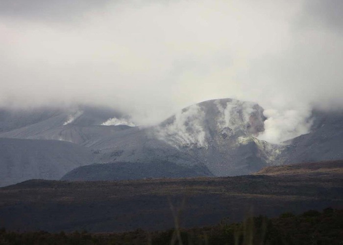
From Ketetahi Hut follow the track up to the end of the first zig zag. From there leave the main track and follow a light track that leads into the gully. Sidle out the other side and gently climb passing below the Upper TeMari Crater.
Head up into the wide saddle that crosses into the Mangahouhounui Stream.
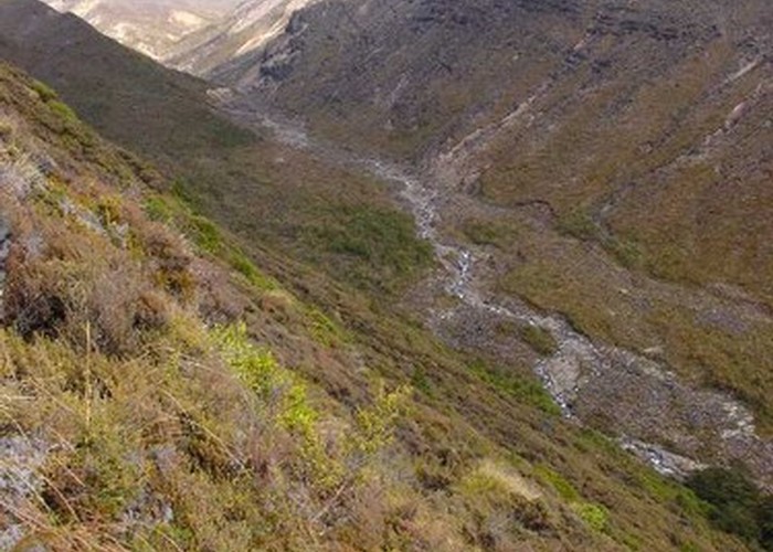
Head down stream over fairly rough country underfoot until you get to the bush. There are lots of good camp sites down here.
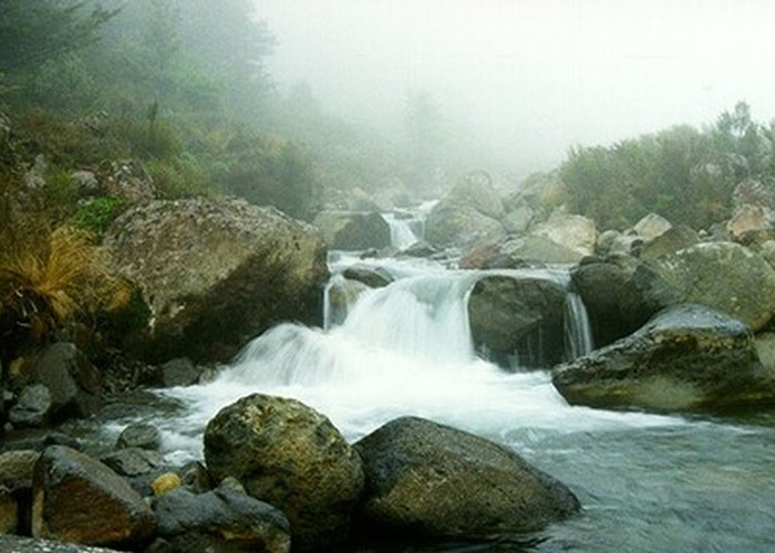
Locate a steep gully that goes up to the south from the main stream about 300m below the first bush. This gully is shown as a side stream on the 1:50,000 map and gives clear access through the scrub to the tops, except for a small waterfall at the bottom which is easily bipassed on the true right.
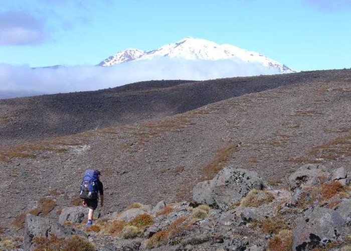
Climb to about the 1400m contour and then sidle around 3kms until you come out on the ridge overlooking Oturere Hut. Drop down into the Oturere Stream and then cross it to get to the hut.