Frew Hut
Frew Hut (sleeps 10 on 2 platforms, matresses, tank & creek water, stove) is a modern tramping hut on river terraces at the confluence of Frew Creek and the Whitcombe River. It is rodent, sandfly & mosquito-proof, which is lucky, because hoards the above are present outside. Bring the fly repellant.
The location is incorrectly shown on topomap J34 (2000) on which it is shown one side-creek further downstream.
The hut is a comfortable stopping place for those ascending the Whitcombe to cross into the Raikaia. A cut track ascends Frew Creek, starting 500m downriver of the hut, from where it crosses to the Hokitika, Mungo and finally descends the Toaroha to the roadend. A loop walk up the Whitcombe and down the Toaroha is thus possible, though there is a long road stretch betweent the two roadends, or 2 vehicles would be required.
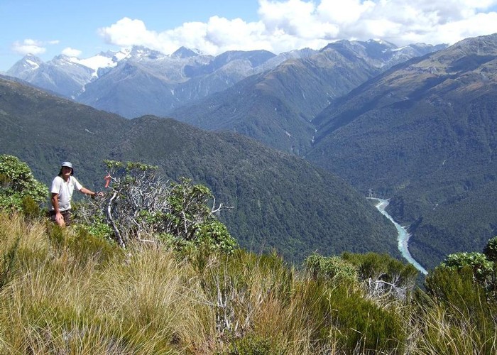
Tops above the hut, and bush / slips upstream are popular with red deer and chamois hunters - so you may have company.
|
Owner
|
Owner: DOC |
|---|---|
|
Category
|
Standard Hut |
|
Sleeps
|
Sleeps 10
10
|
|
Facilities
|
Toilet, Enclosed wood/coal burner |
|
Water supply
|
Tap or tank water |
|
Getting there
|
Whitcombe roadend (J33 482038): 16km. Hut -> Rapid Ck Hut (7km) -> roadend (9km) Toaroha Roadend (J33 577094): 38km - Cut track & poled route. Hut -> Frew Biv (7km, 3-6hrs) -> Poet Hut via Homeward Ridge (10.5km, 5-8 hrs) -> Toaroha Biv (2.5km, 1-1.5hrs) -> Top Toaroha Hut (2km) -> Cedar Flats Hut (7km) -> roadend (9km) Raikaia Valley (Glenfalloch Station): 49km. Hut -> Prices Hut (9km, 3.5-7hrs) -> Neave Hut (9km, 4-8hrs) -> Louper Biv (11km, 5-9 hrs) -> roadeend (20km) |
|---|---|
|
Unlocked
|
This hut is unlocked and open to access. |
|
Bookings
|
No bookings — open access
No — open access
|
|
Altitude
|
220m |
|---|---|
|
Mobile phone coverage
|
No coverage |
|
Maps
|
NZTopo50-BV18
|